Distance to Boyd, Oregon

Calculating Your Route
Just a moment while we process your request...
Location Information
-
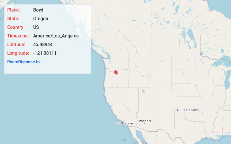
Full AddressBoyd, OR 97021
-
Coordinates45.48944, -121.08111
-
LocationBoyd , Oregon , US
-
TimezoneAmerica/Los_Angeles
-
Current Local Time10:08:16 PM America/Los_AngelesThursday, June 12, 2025
-
Page Views0
About Boyd
Boyd was a city in Wasco County, Oregon, United States, disincorporated in 1955, and now vacant except for a few abandoned homes, weathered outbuildings, and a derelict wooden grain elevator surrounded by the wheat fields, which still produce the grain that used to fill it.

Nearby Places
Found 10 places within 50 miles

Dufur
3.5 mi
5.6 km
Dufur, OR 97021
Get directions

Petersburg
8.4 mi
13.5 km
Petersburg, OR 97058
Get directions

The Dalles
9.2 mi
14.8 km
The Dalles, OR 97058
Get directions

Dallesport
10.0 mi
16.1 km
Dallesport, WA
Get directions
Cherry Heights
11.0 mi
17.7 km
Cherry Heights, OR 97058
Get directions
Gooseberry Creek
12.3 mi
19.8 km
Gooseberry Creek, Oregon 97058
Get directions

Chenoweth
12.4 mi
20.0 km
Chenoweth, OR 97058
Get directions

Wishram
12.9 mi
20.8 km
Wishram, WA
Get directions
Ortley
15.2 mi
24.5 km
Ortley, OR 97058
Get directions

Rowena
15.5 mi
24.9 km
Rowena, OR 97058
Get directions
Location Links
Local Weather
Weather Information
Coming soon!
Location Map
Static map view of Boyd, Oregon
Browse Places by Distance
Places within specific distances from Boyd
Short Distances
Long Distances
Click any distance to see all places within that range from Boyd. Distances shown in miles (1 mile ≈ 1.61 kilometers).