Distance to and from Bradford County, Florida
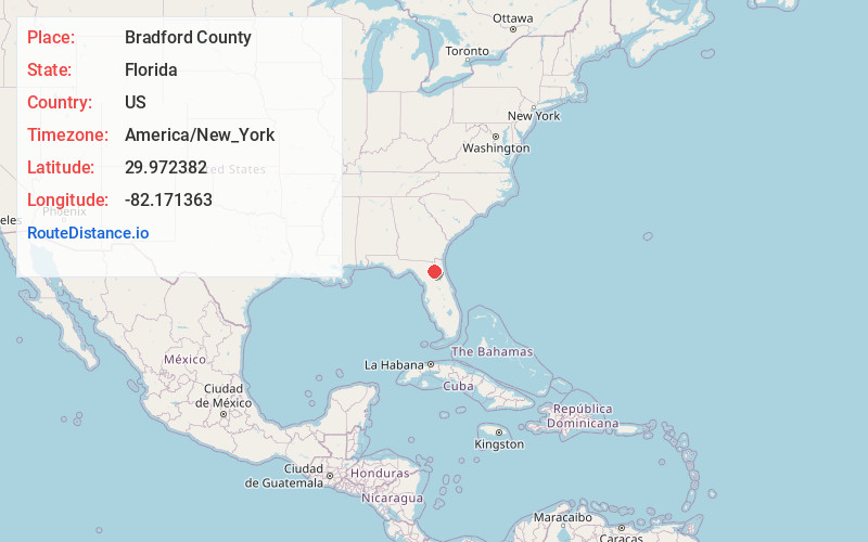
Bradford County, FL
Florida
US
America/New_York
Location Information
-
Full AddressBradford County, FL
-
Coordinates29.9723818, -82.1713632
-
LocationFlorida , US
-
TimezoneAmerica/New_York
-
Current Local Time5:25:28 PM America/New_YorkSaturday, May 3, 2025
-
Page Views0
Directions to Nearest Cities
About Bradford County
Bradford County is a county in the north central region of the U.S. state of Florida. As of the 2020 census, the population was 28,303. Its county seat and largest city is Starke.


Nearby Places
Found 10 places within 50 miles
Starke
4.2 mi
6.8 km
Starke, FL 32091
Get directions

Sampson
4.4 mi
7.1 km
Sampson, FL 32091
Get directions

Clayno
6.6 mi
10.6 km
Clayno, FL 32622
Get directions

Raiford
7.4 mi
11.9 km
Raiford, FL 32083
Get directions

Lawtey
7.8 mi
12.6 km
Lawtey, FL 32058
Get directions
Johnstown
7.8 mi
12.6 km
Johnstown, FL 32054
Get directions

Hampton
7.8 mi
12.6 km
Hampton, FL 32044
Get directions
Kingsley Village
9.3 mi
15.0 km
Kingsley Village, FL 32091
Get directions
Ellerbee
9.4 mi
15.1 km
Ellerbee, FL 32083
Get directions
Louise
10.0 mi
16.1 km
Louise, FL 32609
Get directions
Starke
4.2 mi
6.8 km
Starke, FL 32091
Sampson
4.4 mi
7.1 km
Sampson, FL 32091
Clayno
6.6 mi
10.6 km
Clayno, FL 32622
Raiford
7.4 mi
11.9 km
Raiford, FL 32083
Lawtey
7.8 mi
12.6 km
Lawtey, FL 32058
Johnstown
7.8 mi
12.6 km
Johnstown, FL 32054
Hampton
7.8 mi
12.6 km
Hampton, FL 32044
Kingsley Village
9.3 mi
15.0 km
Kingsley Village, FL 32091
Ellerbee
9.4 mi
15.1 km
Ellerbee, FL 32083
Louise
10.0 mi
16.1 km
Louise, FL 32609
Location Links
Local Weather
Weather Information
Coming soon!
Location Map
Static map view of Bradford County, Florida
Browse Places by Distance
Places within specific distances from Bradford County
Short Distances
Long Distances
Click any distance to see all places within that range from Bradford County. Distances shown in miles (1 mile ≈ 1.61 kilometers).