Distance to Brandon, Pennsylvania

Calculating Your Route
Just a moment while we process your request...
Location Information
-
Full AddressBrandon, Rockland Township, PA 16374
-
Coordinates41.3161699, -79.8506098
-
LocationRockland Township , Pennsylvania , US
-
TimezoneAmerica/New_York
-
Current Local Time11:26:39 PM America/New_YorkMonday, June 2, 2025
-
Page Views0
Nearby Places
Found 10 places within 50 miles

Sandycreek Township
1.8 mi
2.9 km
Sandycreek Township, PA
Get directions

Coal City
2.0 mi
3.2 km
Coal City, Rockland Township, PA 16374
Get directions

Kennerdell
3.2 mi
5.1 km
Kennerdell, PA 16374
Get directions
Bully Hill
3.9 mi
6.3 km
Bully Hill, Sandycreek Township, PA 16323
Get directions
Ajax
4.1 mi
6.6 km
Ajax, PA 16323
Get directions
Astral
4.5 mi
7.2 km
Astral, PA 16323
Get directions
Pearl
4.7 mi
7.6 km
Pearl, Victory Township, PA 16342
Get directions
Mapledale
4.7 mi
7.6 km
Mapledale, Frenchcreek Township, PA 16323
Get directions
Gurney Hill
4.9 mi
7.9 km
Gurney Hill, Franklin, PA 16323
Get directions

Rockland Township
5.1 mi
8.2 km
Rockland Township, PA
Get directions
Location Links
Local Weather
Weather Information
Coming soon!
Location Map
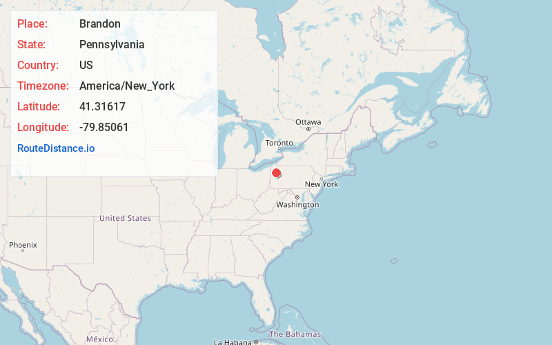
Static map view of Brandon, Pennsylvania
Browse Places by Distance
Places within specific distances from Brandon
Short Distances
Long Distances
Click any distance to see all places within that range from Brandon. Distances shown in miles (1 mile ≈ 1.61 kilometers).