Distance to Brandywine Springs, Delaware

Calculating Your Route
Just a moment while we process your request...
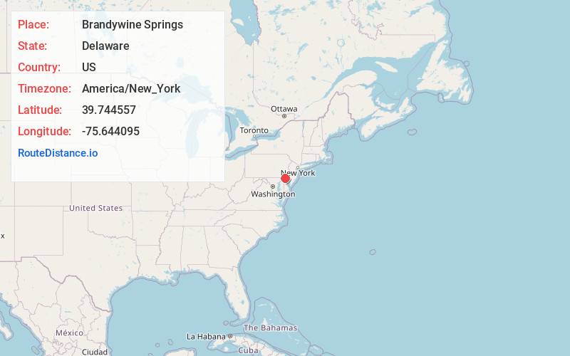
Location Information
-
Full AddressBrandywine Springs, DE 19808
-
Coordinates39.7445568, -75.6440953
-
LocationDelaware , US
-
TimezoneAmerica/New_York
-
Current Local Time11:24:36 AM America/New_YorkThursday, June 12, 2025
-
Page Views0
About Brandywine Springs
Brandywine Springs is a historic area near Newport, Delaware, along the Red Clay Creek.
It is noted from early American history as a Revolutionary War encampment of General George Washington's army.
In 1826, a large four-storey resort hotel was built in Brandywine Springs.
Nearby Places
Found 10 places within 50 miles

Hyde Park
0.3 mi
0.5 km
Hyde Park, DE 19808
Get directions
Faulkland Woods
0.5 mi
0.8 km
Faulkland Woods, DE 19808
Get directions
Dunlinden Acres
0.6 mi
1.0 km
Dunlinden Acres, DE 19808
Get directions
Kirkwood Gardens
0.6 mi
1.0 km
Kirkwood Gardens, DE 19808
Get directions
The Cedars
0.7 mi
1.1 km
The Cedars, DE 19808
Get directions
Tybrook
0.7 mi
1.1 km
Tybrook, DE 19808
Get directions

Faulkland Heights
0.7 mi
1.1 km
Faulkland Heights, DE 19808
Get directions
Sherwood Park
0.9 mi
1.4 km
Sherwood Park, DE 19808
Get directions
Cranston Heights
1.1 mi
1.8 km
Cranston Heights, DE 19808
Get directions
Brookland Terrace
1.1 mi
1.8 km
Brookland Terrace, DE 19808
Get directions
Location Links
Local Weather
Weather Information
Coming soon!
Location Map
Static map view of Brandywine Springs, Delaware
Browse Places by Distance
Places within specific distances from Brandywine Springs
Short Distances
Long Distances
Click any distance to see all places within that range from Brandywine Springs. Distances shown in miles (1 mile ≈ 1.61 kilometers).