Distance to Bridgeport, Kentucky

Calculating Your Route
Just a moment while we process your request...
Location Information
-
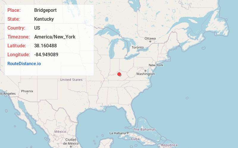
Full AddressBridgeport, KY 40601
-
Coordinates38.160488, -84.949089
-
LocationBridgeport , Kentucky , US
-
TimezoneAmerica/New_York
-
Current Local Time8:58:10 PM America/New_YorkTuesday, June 17, 2025
-
Page Views0
About Bridgeport
Bridgeport is an unincorporated community in western Franklin County, Kentucky, United States, along on U.S. Route 60 outside of Frankfort. It is part of the Frankfort Micropolitan Statistical Area. An elementary school, Bridgeport Elementary, was the focal point of the community for many years.
Nearby Places
Found 10 places within 50 miles

Frankfort
4.5 mi
7.2 km
Frankfort, KY 40601
Get directions

Lawrenceburg
9.0 mi
14.5 km
Lawrenceburg, KY 40342
Get directions

Versailles
14.1 mi
22.7 km
Versailles, KY 40383
Get directions

Midway
14.4 mi
23.2 km
Midway, KY
Get directions

Shelbyville
15.1 mi
24.3 km
Shelbyville, KY 40065
Get directions

Pleasureville
15.7 mi
25.3 km
Pleasureville, KY 40057
Get directions

Stamping Ground
16.2 mi
26.1 km
Stamping Ground, KY 40379
Get directions

Salvisa
17.5 mi
28.2 km
Salvisa, KY 40372
Get directions

Monterey
18.5 mi
29.8 km
Monterey, KY 40359
Get directions

Eminence
19.2 mi
30.9 km
Eminence, KY 40019
Get directions
Location Links
Local Weather
Weather Information
Coming soon!
Location Map
Static map view of Bridgeport, Kentucky
Browse Places by Distance
Places within specific distances from Bridgeport
Short Distances
Long Distances
Click any distance to see all places within that range from Bridgeport. Distances shown in miles (1 mile ≈ 1.61 kilometers).