Distance to Bridgeport, Ohio

Calculating Your Route
Just a moment while we process your request...
Location Information
-
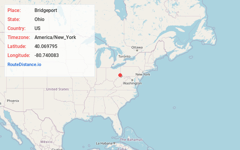
Full AddressBridgeport, OH 43912
-
Coordinates40.0697947, -80.7400827
-
LocationBridgeport , Ohio , US
-
TimezoneAmerica/New_York
-
Current Local Time8:50:31 PM America/New_YorkWednesday, June 4, 2025
-
Page Views0
About Bridgeport
Bridgeport is a village in eastern Belmont County, Ohio, United States. It lies across the Ohio River from Wheeling, West Virginia, at the mouth of Wheeling Creek and is connected by two bridges to Wheeling Island. The population was 1,582 at the 2020 census. It is part of the Wheeling metropolitan area.


Nearby Places
Found 10 places within 50 miles

Wheeling
1.1 mi
1.8 km
Wheeling, WV 26003
Get directions

Martins Ferry
2.0 mi
3.2 km
Martins Ferry, OH 43935
Get directions

Bethlehem
3.2 mi
5.1 km
Bethlehem, WV 26003
Get directions

Bellaire
3.7 mi
6.0 km
Bellaire, OH 43906
Get directions

McMechen
5.7 mi
9.2 km
McMechen, WV
Get directions

Shadyside
6.9 mi
11.1 km
Shadyside, OH 43947
Get directions

Glen Dale
8.5 mi
13.7 km
Glen Dale, WV 26038
Get directions

St Clairsville
8.6 mi
13.8 km
St Clairsville, OH 43950
Get directions
Dillonvale
8.9 mi
14.3 km
Dillonvale, OH
Get directions

Moundsville
10.3 mi
16.6 km
Moundsville, WV 26041
Get directions
Location Links
Local Weather
Weather Information
Coming soon!
Location Map
Static map view of Bridgeport, Ohio
Browse Places by Distance
Places within specific distances from Bridgeport
Short Distances
Long Distances
Click any distance to see all places within that range from Bridgeport. Distances shown in miles (1 mile ≈ 1.61 kilometers).