Distance to Bridgeville, New York

Calculating Your Route
Just a moment while we process your request...
Location Information
-
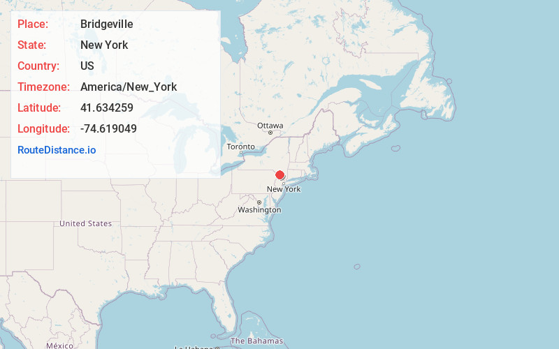
Full AddressBridgeville, NY 12701
-
Coordinates41.6342586, -74.6190494
-
LocationBridgeville , New York , US
-
TimezoneAmerica/New_York
-
Current Local Time10:12:28 AM America/New_YorkSaturday, May 31, 2025
-
Page Views0
About Bridgeville
Bridgeville is a hamlet southeast of Monticello located in the southern Catskill Mountains in the Town of Thompson, County of Sullivan, and State of New York, United States. Bridgeville is located on the Neversink River on New York State Route 17, at an elevation of 1,081 feet. It has hilly terrain.
Nearby Places
Found 10 places within 50 miles

Rock Hill
1.2 mi
1.9 km
Rock Hill, NY
Get directions

Thompson
2.7 mi
4.3 km
Thompson, NY
Get directions

Monticello
3.9 mi
6.3 km
Monticello, NY 12701
Get directions

Kiamesha Lake
4.0 mi
6.4 km
Kiamesha Lake, NY
Get directions

South Fallsburg
4.9 mi
7.9 km
South Fallsburg, NY
Get directions

Woodridge
5.8 mi
9.3 km
Woodridge, NY 12789
Get directions

Mountain Dale
5.9 mi
9.5 km
Mountain Dale, NY 12763
Get directions

Wurtsboro Hills
6.6 mi
10.6 km
Wurtsboro Hills, NY 12790
Get directions

Fallsburg
6.8 mi
10.9 km
Fallsburg, NY
Get directions

Forestburgh
6.9 mi
11.1 km
Forestburgh, NY 12777
Get directions
Location Links
Local Weather
Weather Information
Coming soon!
Location Map
Static map view of Bridgeville, New York
Browse Places by Distance
Places within specific distances from Bridgeville
Short Distances
Long Distances
Click any distance to see all places within that range from Bridgeville. Distances shown in miles (1 mile ≈ 1.61 kilometers).