Distance to Bristol Ferry, Rhode Island

Calculating Your Route
Just a moment while we process your request...
Location Information
-
Full AddressBristol Ferry, Portsmouth, RI 02871
-
Coordinates41.6326021, -71.2536592
-
LocationPortsmouth , Rhode Island , US
-
TimezoneAmerica/New_York
-
Current Local Time10:28:01 PM America/New_YorkTuesday, June 17, 2025
-
Page Views0
Nearby Places
Found 10 places within 50 miles

Island Park
1.5 mi
2.4 km
Island Park, Portsmouth, RI 02871
Get directions

Tiverton
2.4 mi
3.9 km
Tiverton, RI
Get directions

Portsmouth
2.9 mi
4.7 km
Portsmouth, RI
Get directions

Bristol
3.1 mi
5.0 km
Bristol, RI 02809
Get directions

Prudence Park
4.4 mi
7.1 km
Prudence Park, Portsmouth, RI 02835
Get directions

Coggeshall Cove
5.2 mi
8.4 km
Coggeshall Cove, Portsmouth, RI
Get directions
Touisset Highlands
5.4 mi
8.7 km
Touisset Highlands, Warren, RI 02885
Get directions
Eagleville
5.5 mi
8.9 km
Eagleville, Tiverton, RI 02878
Get directions
South Portsmouth
6.1 mi
9.8 km
South Portsmouth, Portsmouth, RI 02871
Get directions
South Swansea
6.5 mi
10.5 km
South Swansea, Swansea, MA 02777
Get directions
Location Links
Local Weather
Weather Information
Coming soon!
Location Map
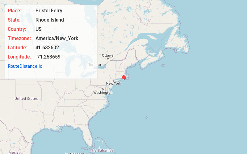
Static map view of Bristol Ferry, Rhode Island
Browse Places by Distance
Places within specific distances from Bristol Ferry
Short Distances
Long Distances
Click any distance to see all places within that range from Bristol Ferry. Distances shown in miles (1 mile ≈ 1.61 kilometers).