Distance to Brockton, Montana

Calculating Your Route
Just a moment while we process your request...
Location Information
-
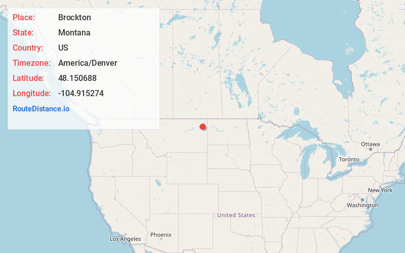
Full AddressBrockton, MT 59213
-
Coordinates48.1506883, -104.9152744
-
LocationBrockton , Montana , US
-
TimezoneAmerica/Denver
-
Current Local Time5:30:49 PM America/DenverWednesday, May 21, 2025
-
Page Views0
About Brockton
Brockton is a census-designated place and former town in Roosevelt County, Montana, United States. The population was 358 at the 2020 census.
Brockton's first post office was established in 1904. Fort Peck Indian Reservation was opened to non-Native settlers in 1913 and the town boomed.


Nearby Places
Found 6 places within 50 miles

Poplar
13.3 mi
21.4 km
Poplar, MT 59255
Get directions

Culbertson
18.4 mi
29.6 km
Culbertson, MT 59218
Get directions

Wolf Point
33.7 mi
54.2 km
Wolf Point, MT 59201
Get directions

Fairview
45.1 mi
72.6 km
Fairview, MT 59221
Get directions

Plentywood
46.0 mi
74.0 km
Plentywood, MT 59254
Get directions

Sidney
46.2 mi
74.4 km
Sidney, MT 59270
Get directions
Location Links
Local Weather
Weather Information
Coming soon!
Location Map
Static map view of Brockton, Montana
Browse Places by Distance
Places within specific distances from Brockton
Short Distances
Long Distances
Click any distance to see all places within that range from Brockton. Distances shown in miles (1 mile ≈ 1.61 kilometers).