Distance to Brockway, Oregon

Calculating Your Route
Just a moment while we process your request...
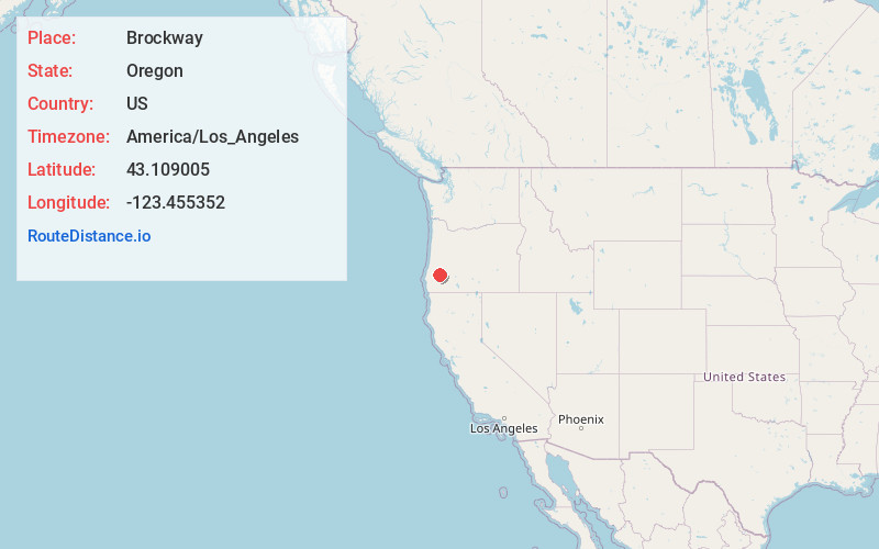
Location Information
-
Full AddressBrockway, OR 97496
-
Coordinates43.1090048, -123.4553515
-
LocationBrockway , Oregon , US
-
TimezoneAmerica/Los_Angeles
-
Current Local Time6:38:15 AM America/Los_AngelesMonday, May 19, 2025
-
Page Views0
About Brockway
Brockway is an unincorporated community in Douglas County, Oregon, United States, on Oregon Route 42, approximately nine miles southwest of Roseburg.
Nearby Places
Found 10 places within 50 miles

Dillard
1.5 mi
2.4 km
Dillard, OR
Get directions

Winston
2.3 mi
3.7 km
Winston, OR 97496
Get directions

Lookingglass
5.0 mi
8.0 km
Lookingglass, OR 97471
Get directions

Tenmile
5.6 mi
9.0 km
Tenmile, OR 97481
Get directions

Green
5.7 mi
9.2 km
Green, OR 97471
Get directions

Roseburg
9.4 mi
15.1 km
Roseburg, OR
Get directions

Melrose
9.6 mi
15.4 km
Melrose, OR 97471
Get directions

Myrtle Creek
10.2 mi
16.4 km
Myrtle Creek, OR 97457
Get directions

Riversdale
10.9 mi
17.5 km
Riversdale, OR 97471
Get directions

Tri-City
11.1 mi
17.9 km
Tri-City, OR 97457
Get directions
Location Links
Local Weather
Weather Information
Coming soon!
Location Map
Static map view of Brockway, Oregon
Browse Places by Distance
Places within specific distances from Brockway
Short Distances
Long Distances
Click any distance to see all places within that range from Brockway. Distances shown in miles (1 mile ≈ 1.61 kilometers).