Distance to Brodhead, Kentucky

Calculating Your Route
Just a moment while we process your request...
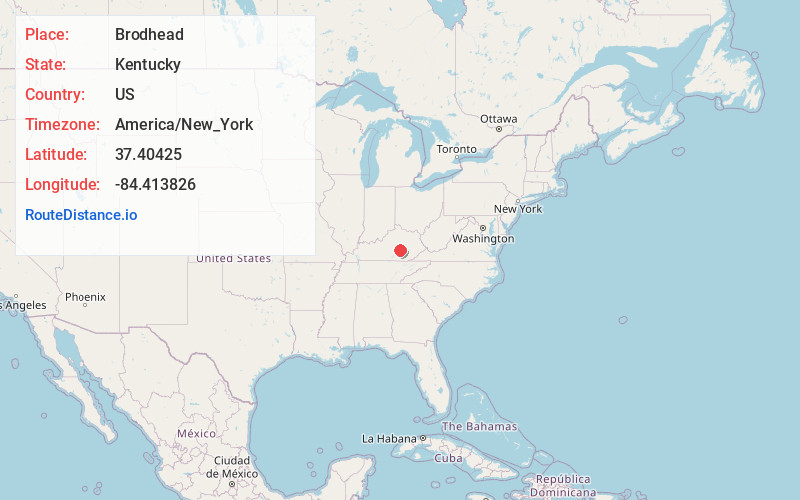
Location Information
-
Full AddressBrodhead, KY
-
Coordinates37.4042496, -84.4138259
-
LocationBrodhead , Kentucky , US
-
TimezoneAmerica/New_York
-
Current Local Time11:35:17 PM America/New_YorkWednesday, May 28, 2025
-
Page Views0
About Brodhead
Brodhead is a home rule-class city in Rockcastle County in southeastern Kentucky. The population was 1,211 at the 2010 census. It is part of the Richmond–Berea Micropolitan Statistical Area.
Brodhead has been noted for its unusual place name.


Nearby Places
Found 10 places within 50 miles

Mt Vernon
5.4 mi
8.7 km
Mt Vernon, KY 40456
Get directions

Berea
13.1 mi
21.1 km
Berea, KY
Get directions

Stanford
16.2 mi
26.1 km
Stanford, KY 40484
Get directions

Lancaster
17.4 mi
28.0 km
Lancaster, KY 40444
Get directions

Junction City
23.9 mi
38.5 km
Junction City, KY
Get directions

Somerset
24.0 mi
38.6 km
Somerset, KY
Get directions

Richmond
24.6 mi
39.6 km
Richmond, KY
Get directions

Danville
25.8 mi
41.5 km
Danville, KY
Get directions

London
26.3 mi
42.3 km
London, KY
Get directions

Liberty
29.5 mi
47.5 km
Liberty, KY 42539
Get directions
Location Links
Local Weather
Weather Information
Coming soon!
Location Map
Static map view of Brodhead, Kentucky
Browse Places by Distance
Places within specific distances from Brodhead
Short Distances
Long Distances
Click any distance to see all places within that range from Brodhead. Distances shown in miles (1 mile ≈ 1.61 kilometers).