Distance to Brookline, Missouri

Calculating Your Route
Just a moment while we process your request...
Location Information
-
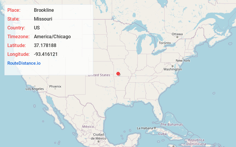
Full AddressBrookline, Republic, MO 65802
-
Coordinates37.1781879, -93.4161205
-
NeighborhoodBrookline
-
LocationRepublic , Missouri , US
-
TimezoneAmerica/Chicago
-
Current Local Time9:18:58 AM America/ChicagoSunday, June 1, 2025
-
Page Views0
About Brookline
Brookline is a former village in Greene County, Missouri, United States. The population was 326 at the 2000 census.
Nearby Places
Found 10 places within 50 miles

Haseltine
2.7 mi
4.3 km
Haseltine, Center No. 1 Township, MO 65802
Get directions
Nichols
4.0 mi
6.4 km
Nichols, Springfield, MO 65803
Get directions

Battlefield
5.0 mi
8.0 km
Battlefield, MO
Get directions

Republic
5.3 mi
8.5 km
Republic, MO
Get directions
Wilsons Creek
5.6 mi
9.0 km
Wilsons Creek, MO 65619
Get directions
Ritter
6.2 mi
10.0 km
Ritter, North Campbell No. 3B Township, MO 65803
Get directions
Terrell
6.6 mi
10.6 km
Terrell, Lincoln Township, MO 65738
Get directions

Springfield
7.1 mi
11.4 km
Springfield, MO
Get directions

Bois D'Arc
7.4 mi
11.9 km
Bois D'Arc, MO 65612
Get directions

Plano
7.5 mi
12.1 km
Plano, Pond Creek Township, MO 65612
Get directions
Location Links
Local Weather
Weather Information
Coming soon!
Location Map
Static map view of Brookline, Missouri
Browse Places by Distance
Places within specific distances from Brookline
Short Distances
Long Distances
Click any distance to see all places within that range from Brookline. Distances shown in miles (1 mile ≈ 1.61 kilometers).