Distance to Brookline, Massachusetts

Calculating Your Route
Just a moment while we process your request...
Location Information
-
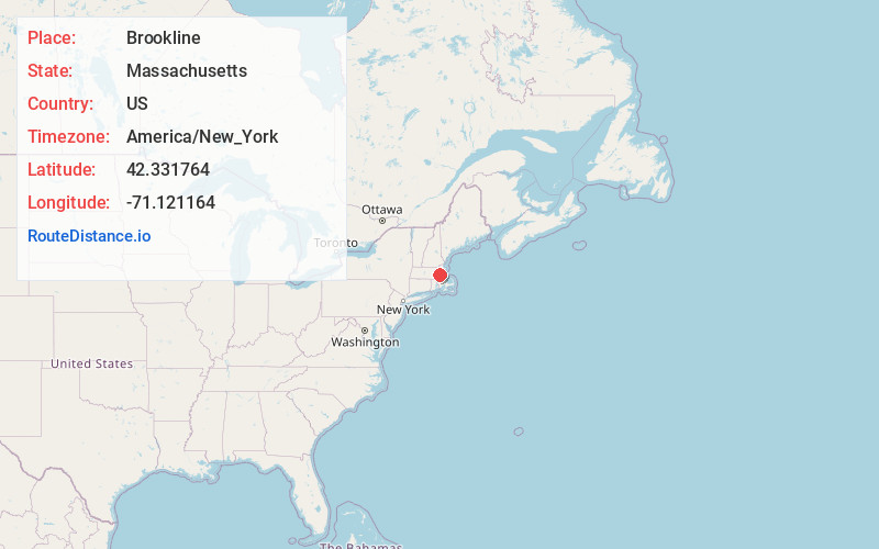
Full AddressBrookline, MA
-
Coordinates42.3317642, -71.1211635
-
LocationBrookline , Massachusetts , US
-
TimezoneAmerica/New_York
-
Current Local Time6:45:16 PM America/New_YorkWednesday, June 18, 2025
-
Website
-
Page Views0
About Brookline
Brookline is a town in Norfolk County, Massachusetts, United States, and part of the Boston metropolitan area. An exclave of Norfolk County, Brookline borders six of Boston's neighborhoods: Brighton, Allston, Fenway–Kenmore, Mission Hill, Jamaica Plain, and West Roxbury.


Nearby Places
Found 10 places within 50 miles

Cambridge
2.5 mi
4.0 km
Cambridge, MA
Get directions

Boston
3.7 mi
6.0 km
Boston, MA
Get directions

Somerville
4.0 mi
6.4 km
Somerville, MA
Get directions

Newton
4.5 mi
7.2 km
Newton, MA
Get directions

Malden
7.0 mi
11.3 km
Malden, MA
Get directions

Quincy
8.2 mi
13.2 km
Quincy, MA
Get directions

Lynn
12.7 mi
20.4 km
Lynn, MA
Get directions

Framingham
15.5 mi
24.9 km
Framingham, MA
Get directions

Brockton
17.9 mi
28.8 km
Brockton, MA
Get directions

Lowell
23.8 mi
38.3 km
Lowell, MA
Get directions
Location Links
Local Weather
Weather Information
Coming soon!
Location Map
Static map view of Brookline, Massachusetts
Browse Places by Distance
Places within specific distances from Brookline
Short Distances
Long Distances
Click any distance to see all places within that range from Brookline. Distances shown in miles (1 mile ≈ 1.61 kilometers).