Distance to Brooklyn, Michigan

Calculating Your Route
Just a moment while we process your request...
Location Information
-
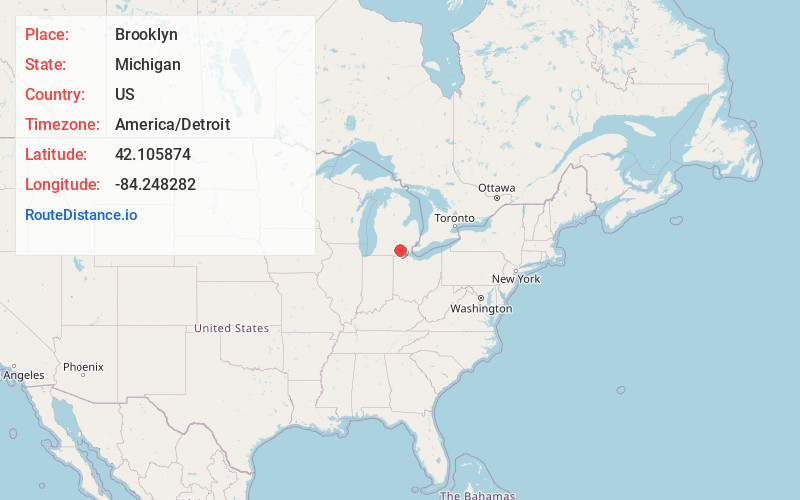
Full AddressBrooklyn, MI 49230
-
Coordinates42.105874, -84.2482819
-
LocationBrooklyn , Michigan , US
-
TimezoneAmerica/Detroit
-
Current Local Time12:53:10 PM America/DetroitSaturday, May 31, 2025
-
Website
-
Page Views0
About Brooklyn
Brooklyn is a village in Jackson County in the U.S. state of Michigan. The population was 1,313 at the 2020 census. It is located in the Irish Hills region of southern Michigan, just north of U.S. Route 12 along M-50. The village is located within Columbia Township.


Nearby Places
Found 10 places within 50 miles

Onsted
7.5 mi
12.1 km
Onsted, MI 49265
Get directions

Devils Lake
8.7 mi
14.0 km
Devils Lake, Manitou Beach-Devils Lake, MI 49253
Get directions

Vandercook Lake
9.4 mi
15.1 km
Vandercook Lake, MI
Get directions

Michigan Center
9.7 mi
15.6 km
Michigan Center, MI
Get directions

Grass Lake Township
10.2 mi
16.4 km
Grass Lake Township, MI
Get directions

Manchester
11.2 mi
18.0 km
Manchester, MI 48158
Get directions

Jackson
12.5 mi
20.1 km
Jackson, MI
Get directions

Clinton
14.4 mi
23.2 km
Clinton, MI 49236
Get directions

Spring Arbor
17.0 mi
27.4 km
Spring Arbor, MI 49283
Get directions

Tecumseh
17.1 mi
27.5 km
Tecumseh, MI 49286
Get directions
Location Links
Local Weather
Weather Information
Coming soon!
Location Map
Static map view of Brooklyn, Michigan
Browse Places by Distance
Places within specific distances from Brooklyn
Short Distances
Long Distances
Click any distance to see all places within that range from Brooklyn. Distances shown in miles (1 mile ≈ 1.61 kilometers).