Distance to Brooks, Louisiana

Calculating Your Route
Just a moment while we process your request...
Location Information
-
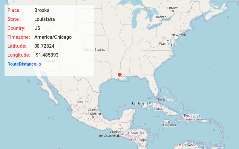
Full AddressBrooks, LA 70760
-
Coordinates30.7282399, -91.4853925
-
LocationLouisiana , US
-
TimezoneAmerica/Chicago
-
Current Local Time4:12:04 PM America/ChicagoWednesday, June 18, 2025
-
Page Views0
Nearby Places
Found 10 places within 50 miles

Stonewell Plantation
1.1 mi
1.8 km
Stonewell Plantation, LA 70760
Get directions
Beaud
1.6 mi
2.6 km
Beaud, LA 70760
Get directions
Leavel
1.6 mi
2.6 km
Leavel, LA 70759
Get directions
Ploup
1.6 mi
2.6 km
Ploup, LA 70760
Get directions
Shexnayder
2.0 mi
3.2 km
Shexnayder, LA 70760
Get directions
Morrison
2.8 mi
4.5 km
Morrison, LA 70760
Get directions

New Roads
3.5 mi
5.6 km
New Roads, LA 70760
Get directions
Labarre
3.7 mi
6.0 km
Labarre, LA 70759
Get directions
Dawson Switch
5.1 mi
8.2 km
Dawson Switch, LA 70759
Get directions

Ventress
5.6 mi
9.0 km
Ventress, LA 70783
Get directions
Location Links
Local Weather
Weather Information
Coming soon!
Location Map
Static map view of Brooks, Louisiana
Browse Places by Distance
Places within specific distances from Brooks
Short Distances
Long Distances
Click any distance to see all places within that range from Brooks. Distances shown in miles (1 mile ≈ 1.61 kilometers).