Distance to Brooten, Minnesota

Calculating Your Route
Just a moment while we process your request...
Location Information
-
Full AddressBrooten, MN
-
Coordinates45.5008614, -95.1247422
-
LocationBrooten , Minnesota , US
-
TimezoneAmerica/Chicago
-
Current Local Time2:42:10 AM America/ChicagoWednesday, June 18, 2025
-
Website
-
Page Views0
About Brooten
Brooten is a city in Stearns and Pope counties in the U.S. state of Minnesota, United States. The population was 626 as of the 2020 census. Almost the entire city is within Stearns County, with a small portion in Pope County.
The Stearns County portion of Brooten is part of the St. Cloud Metropolitan Statistical Area.


Nearby Places
Found 10 places within 50 miles

Belgrade
6.7 mi
10.8 km
Belgrade, MN 56312
Get directions

New London
16.3 mi
26.2 km
New London, MN
Get directions

Glenwood
16.5 mi
26.6 km
Glenwood, MN 56334
Get directions

Sauk Centre
18.3 mi
29.5 km
Sauk Centre, MN 56378
Get directions

Melrose
19.5 mi
31.4 km
Melrose, MN 56352
Get directions

Spicer
20.6 mi
33.2 km
Spicer, MN 56288
Get directions

Starbuck
21.2 mi
34.1 km
Starbuck, MN 56381
Get directions

Paynesville
21.3 mi
34.3 km
Paynesville, MN 56362
Get directions

Kerkhoven
23.3 mi
37.5 km
Kerkhoven, MN
Get directions

Freeport
23.8 mi
38.3 km
Freeport, MN 56331
Get directions
Location Links
Local Weather
Weather Information
Coming soon!
Location Map
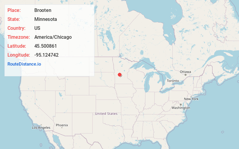
Static map view of Brooten, Minnesota
Browse Places by Distance
Places within specific distances from Brooten
Short Distances
Long Distances
Click any distance to see all places within that range from Brooten. Distances shown in miles (1 mile ≈ 1.61 kilometers).