Distance to and from Brownlee, Colorado
Brownlee, CO 80480
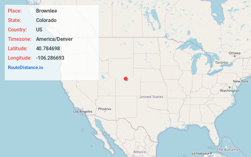
Colorado
US
America/Denver
Location Information
-
Full AddressBrownlee, CO 80480
-
Coordinates40.7846981, -106.2866925
-
LocationColorado , US
-
TimezoneAmerica/Denver
-
Current Local Time3:31:15 AM America/DenverMonday, May 5, 2025
-
Page Views0
Directions to Nearest Cities
Nearby Places
Found 10 places within 50 miles

Walden
3.7 mi
6.0 km
Walden, CO 80480
Get directions

Kings Canyon
10.3 mi
16.6 km
Kings Canyon, CO 80434
Get directions
Hebron
14.5 mi
23.3 km
Hebron, CO 80430
Get directions
Glendevey
18.5 mi
29.8 km
Glendevey, CO 82063
Get directions
Pearl
19.2 mi
30.9 km
Pearl, CO 80480
Get directions
Foxpark
21.5 mi
34.6 km
Foxpark, WY 82070
Get directions
Bockman Lumber Camp
23.0 mi
37.0 km
Bockman Lumber Camp, CO 80480
Get directions

Rand
23.5 mi
37.8 km
Rand, CO 80473
Get directions

Gould Mountain
23.8 mi
38.3 km
Gould Mountain, Colorado 80480
Get directions
Old Homestead
25.0 mi
40.2 km
Old Homestead, CO 80473
Get directions
Walden
3.7 mi
6.0 km
Walden, CO 80480
Kings Canyon
10.3 mi
16.6 km
Kings Canyon, CO 80434
Hebron
14.5 mi
23.3 km
Hebron, CO 80430
Glendevey
18.5 mi
29.8 km
Glendevey, CO 82063
Pearl
19.2 mi
30.9 km
Pearl, CO 80480
Foxpark
21.5 mi
34.6 km
Foxpark, WY 82070
Bockman Lumber Camp
23.0 mi
37.0 km
Bockman Lumber Camp, CO 80480
Rand
23.5 mi
37.8 km
Rand, CO 80473
Gould Mountain
23.8 mi
38.3 km
Gould Mountain, Colorado 80480
Old Homestead
25.0 mi
40.2 km
Old Homestead, CO 80473
Location Links
Local Weather
Weather Information
Coming soon!
Location Map
Static map view of Brownlee, Colorado
Browse Places by Distance
Places within specific distances from Brownlee
Short Distances
Long Distances
Click any distance to see all places within that range from Brownlee. Distances shown in miles (1 mile ≈ 1.61 kilometers).