Distance to Browns, Illinois

Calculating Your Route
Just a moment while we process your request...
Location Information
-
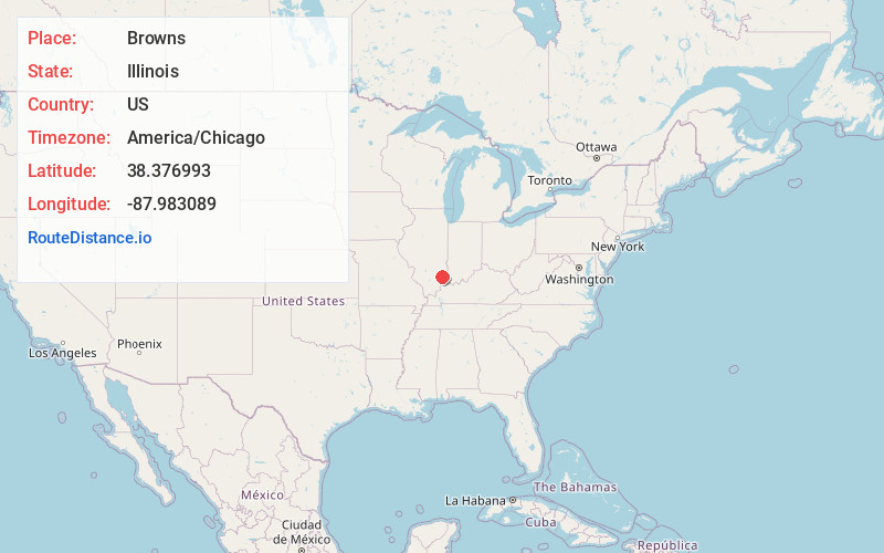
Full AddressBrowns, IL 62818
-
Coordinates38.3769927, -87.9830886
-
LocationBrowns , Illinois , US
-
TimezoneAmerica/Chicago
-
Current Local Time3:21:27 PM America/ChicagoFriday, May 23, 2025
-
Page Views0
About Browns
Browns is a village in Edwards County, Illinois, United States. The population was 139 as of the 2020 census, slightly up from 134 as of the 2010 census.
Nearby Places
Found 10 places within 50 miles

Albion
4.0 mi
6.4 km
Albion, IL 62806
Get directions

Grayville
8.3 mi
13.4 km
Grayville, IL 62844
Get directions

West Salem
10.0 mi
16.1 km
West Salem, IL 62476
Get directions

Mt Carmel
12.2 mi
19.6 km
Mt Carmel, IL 62863
Get directions

Parkersburg
15.2 mi
24.5 km
Parkersburg, IL 62452
Get directions

Crossville
15.5 mi
24.9 km
Crossville, IL 62827
Get directions

New Harmony
17.3 mi
27.8 km
New Harmony, IN 47631
Get directions

Owensville
17.6 mi
28.3 km
Owensville, IN 47665
Get directions

Poseyville
17.9 mi
28.8 km
Poseyville, IN 47633
Get directions
Allendale
18.0 mi
29.0 km
Allendale, IL 62410
Get directions
Location Links
Local Weather
Weather Information
Coming soon!
Location Map
Static map view of Browns, Illinois
Browse Places by Distance
Places within specific distances from Browns
Short Distances
Long Distances
Click any distance to see all places within that range from Browns. Distances shown in miles (1 mile ≈ 1.61 kilometers).