Distance to Browns, Alabama

Calculating Your Route
Just a moment while we process your request...
Location Information
-
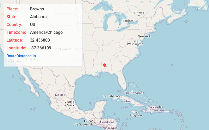
Full AddressBrowns, AL 36759
-
Coordinates32.4368027, -87.3661093
-
LocationAlabama , US
-
TimezoneAmerica/Chicago
-
Current Local Time4:31:49 AM America/ChicagoFriday, June 20, 2025
-
Page Views0
About Browns
Browns is an unincorporated community in Dallas County, Alabama. Browns formerly had one site included on the National Register of Historic Places, St. Luke's Episcopal Church, before it was removed to Cahaba in 2006.
It is home to a community airport.
Nearby Places
Found 10 places within 50 miles

Massillon
4.1 mi
6.6 km
Massillon, AL 36759
Get directions
Tayloe
4.3 mi
6.9 km
Tayloe, AL 36759
Get directions

Vaiden Field Airport - A08
5.3 mi
8.5 km
Vaiden Field Airport - A08, Alabama 36786
Get directions
Bogue Chitto
6.1 mi
9.8 km
Bogue Chitto, AL 36759
Get directions
Nave
6.7 mi
10.8 km
Nave, AL 36759
Get directions
Eleanor
7.2 mi
11.6 km
Eleanor, AL 36759
Get directions
Hamburg
7.8 mi
12.6 km
Hamburg, AL 36759
Get directions
Westbrook
8.1 mi
13.0 km
Westbrook, AL 36759
Get directions

Uniontown
8.7 mi
14.0 km
Uniontown, AL
Get directions
Harrell
8.8 mi
14.2 km
Harrell, AL 36759
Get directions
Location Links
Local Weather
Weather Information
Coming soon!
Location Map
Static map view of Browns, Alabama
Browse Places by Distance
Places within specific distances from Browns
Short Distances
Long Distances
Click any distance to see all places within that range from Browns. Distances shown in miles (1 mile ≈ 1.61 kilometers).