Distance to Browns Mill, Virginia

Calculating Your Route
Just a moment while we process your request...
Location Information
-
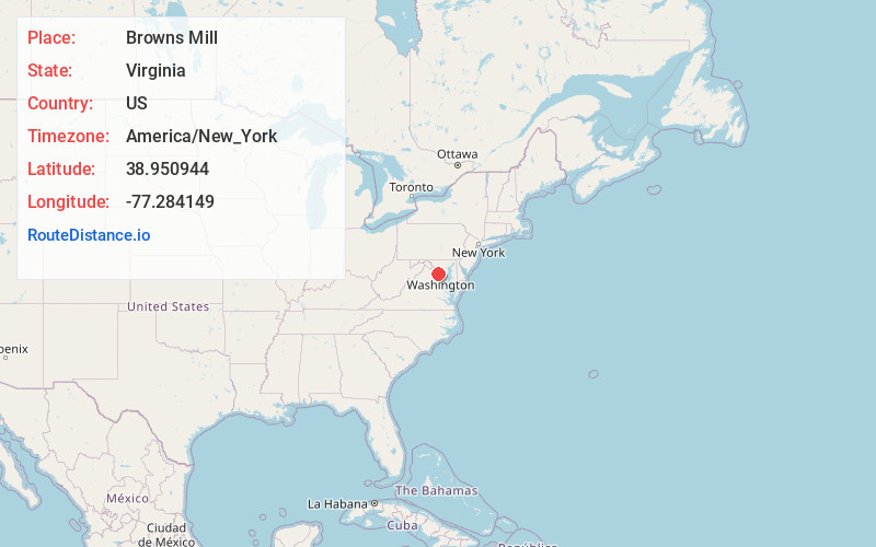
Full AddressBrowns Mill, Wolf Trap, VA 22182
-
Coordinates38.9509438, -77.2841493
-
LocationWolf Trap , Virginia , US
-
TimezoneAmerica/New_York
-
Current Local Time3:21:34 AM America/New_YorkThursday, June 5, 2025
-
Page Views0
Nearby Places
Found 10 places within 50 miles

Wolf Trap
1.1 mi
1.8 km
Wolf Trap, VA
Get directions

Hickory Run
2.3 mi
3.7 km
Hickory Run, Great Falls, VA 22066
Get directions
Belleview
2.5 mi
4.0 km
Belleview, McLean, VA 22102
Get directions

Great Falls
3.3 mi
5.3 km
Great Falls, VA
Get directions
Old Courthouse
3.6 mi
5.8 km
Old Courthouse, Tysons, VA 22182
Get directions
McLean Hamlet
3.6 mi
5.8 km
McLean Hamlet, McLean, VA 22102
Get directions

Tysons
3.6 mi
5.8 km
Tysons, VA
Get directions

Great Falls
3.7 mi
6.0 km
Great Falls, Potomac, MD 20854
Get directions

Reston
4.0 mi
6.4 km
Reston, VA
Get directions
Cropley
4.0 mi
6.4 km
Cropley, Potomac, MD 20854
Get directions
Location Links
Local Weather
Weather Information
Coming soon!
Location Map
Static map view of Browns Mill, Virginia
Browse Places by Distance
Places within specific distances from Browns Mill
Short Distances
Long Distances
Click any distance to see all places within that range from Browns Mill. Distances shown in miles (1 mile ≈ 1.61 kilometers).