Distance to Brownsville, Pennsylvania

Calculating Your Route
Just a moment while we process your request...
Location Information
-
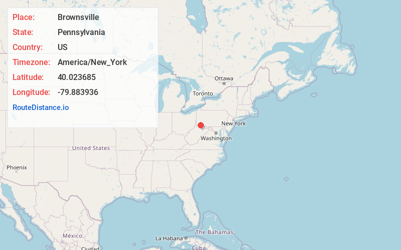
Full AddressBrownsville, PA 15417
-
Coordinates40.0236854, -79.8839357
-
LocationBrownsville , Pennsylvania , US
-
TimezoneAmerica/New_York
-
Current Local Time3:10:45 AM America/New_YorkTuesday, June 17, 2025
-
Page Views0
About Brownsville
Brownsville is a borough in Fayette County, Pennsylvania, United States, first settled in 1785 as the site of a trading post a few years after the defeat of the Iroquois enabled a resumption of westward migration after the American Revolutionary War.


Nearby Places
Found 10 places within 50 miles

California
2.9 mi
4.7 km
California, PA
Get directions

Redstone Township
4.1 mi
6.6 km
Redstone Township, PA
Get directions
Menallen Township
6.9 mi
11.1 km
Menallen Township, PA
Get directions

Charleroi
7.9 mi
12.7 km
Charleroi, PA 15022
Get directions

Fallowfield Township
8.3 mi
13.4 km
Fallowfield Township, PA
Get directions

Monessen
8.6 mi
13.8 km
Monessen, PA
Get directions
German Township
9.8 mi
15.8 km
German Township, PA
Get directions

Donora
10.4 mi
16.7 km
Donora, PA 15033
Get directions
Rostraver Township
10.5 mi
16.9 km
Rostraver Township, PA
Get directions
South Uniontown
11.5 mi
18.5 km
South Uniontown, PA 15401
Get directions
Location Links
Local Weather
Weather Information
Coming soon!
Location Map
Static map view of Brownsville, Pennsylvania
Browse Places by Distance
Places within specific distances from Brownsville
Short Distances
Long Distances
Click any distance to see all places within that range from Brownsville. Distances shown in miles (1 mile ≈ 1.61 kilometers).