Distance to and from Brownville, Maine
Brownville, ME 04414
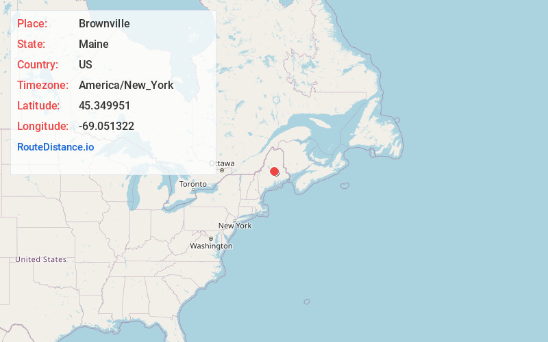
Brownville
Maine
US
America/New_York
Location Information
-
Full AddressBrownville, ME 04414
-
Coordinates45.349951, -69.0513219
-
LocationBrownville , Maine , US
-
TimezoneAmerica/New_York
-
Current Local Time5:42:17 PM America/New_YorkSaturday, May 3, 2025
-
Page Views0
Directions to Nearest Cities
About Brownville
Brownville is a town in Piscataquis County, Maine, United States. The population was 1,139 at the 2020 census. The town includes the villages of Brownville, Knight's Landing and Brownville Junction, near which passes the 100-Mile Wilderness of the Appalachian Trail.


Nearby Places
Found 10 places within 50 miles

Milo
7.4 mi
11.9 km
Milo, ME
Get directions

Dover-Foxcroft
14.3 mi
23.0 km
Dover-Foxcroft, ME 04426
Get directions

Charleston
18.3 mi
29.5 km
Charleston, ME 04422
Get directions

Sangerville
19.6 mi
31.5 km
Sangerville, ME
Get directions

Bradford
20.3 mi
32.7 km
Bradford, ME 04410
Get directions

Howland
20.5 mi
33.0 km
Howland, ME
Get directions

Enfield
24.6 mi
39.6 km
Enfield, ME 04493
Get directions

Corinth
25.3 mi
40.7 km
Corinth, ME 04427
Get directions

Dexter
25.3 mi
40.7 km
Dexter, ME 04930
Get directions

Hudson
25.5 mi
41.0 km
Hudson, ME
Get directions
Milo
7.4 mi
11.9 km
Milo, ME
Dover-Foxcroft
14.3 mi
23.0 km
Dover-Foxcroft, ME 04426
Charleston
18.3 mi
29.5 km
Charleston, ME 04422
Sangerville
19.6 mi
31.5 km
Sangerville, ME
Bradford
20.3 mi
32.7 km
Bradford, ME 04410
Howland
20.5 mi
33.0 km
Howland, ME
Enfield
24.6 mi
39.6 km
Enfield, ME 04493
Corinth
25.3 mi
40.7 km
Corinth, ME 04427
Dexter
25.3 mi
40.7 km
Dexter, ME 04930
Hudson
25.5 mi
41.0 km
Hudson, ME
Location Links
Local Weather
Weather Information
Coming soon!
Location Map
Static map view of Brownville, Maine
Browse Places by Distance
Places within specific distances from Brownville
Short Distances
Long Distances
Click any distance to see all places within that range from Brownville. Distances shown in miles (1 mile ≈ 1.61 kilometers).