Distance to Brule, Louisiana

Calculating Your Route
Just a moment while we process your request...
Location Information
-
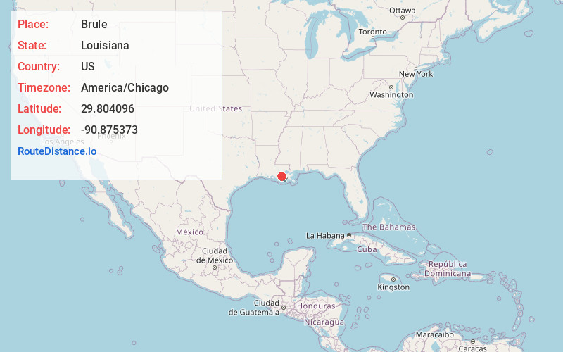
Full AddressBrule, LA 70301
-
Coordinates29.8040958, -90.8753725
-
LocationLouisiana , US
-
TimezoneAmerica/Chicago
-
Current Local Time5:48:12 PM America/ChicagoFriday, June 20, 2025
-
Page Views0
Nearby Places
Found 10 places within 50 miles

Leighton
1.2 mi
1.9 km
Leighton, LA 70301
Get directions
Laurel Grove Plantation
1.6 mi
2.6 km
Laurel Grove Plantation, LA 70301
Get directions
Abby Plantation
2.1 mi
3.4 km
Abby Plantation, LA 70301
Get directions
L T Plantation
2.3 mi
3.7 km
L T Plantation, LA 70301
Get directions
Naquin
2.3 mi
3.7 km
Naquin, LA 70301
Get directions
White Plantation
2.3 mi
3.7 km
White Plantation, LA 70301
Get directions
Dixie Plantation
2.5 mi
4.0 km
Dixie Plantation, LA 70301
Get directions
Lowlands
2.8 mi
4.5 km
Lowlands, LA 70301
Get directions

Thibodaux
3.2 mi
5.1 km
Thibodaux, LA 70301
Get directions
Rienzi Plantation
4.0 mi
6.4 km
Rienzi Plantation, Thibodaux, LA 70301
Get directions
Location Links
Local Weather
Weather Information
Coming soon!
Location Map
Static map view of Brule, Louisiana
Browse Places by Distance
Places within specific distances from Brule
Short Distances
Long Distances
Click any distance to see all places within that range from Brule. Distances shown in miles (1 mile ≈ 1.61 kilometers).