Distance to Bryant, Iowa

Calculating Your Route
Just a moment while we process your request...
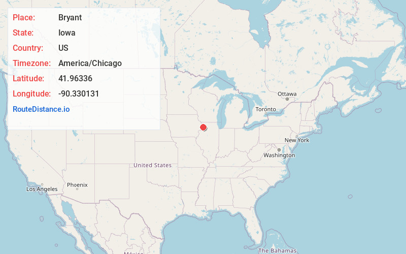
Location Information
-
Full AddressBryant, IA 52727
-
Coordinates41.9633599, -90.3301306
-
LocationBryant , Iowa , US
-
TimezoneAmerica/Chicago
-
Current Local Time1:26:04 AM America/ChicagoFriday, June 20, 2025
-
Page Views0
About Bryant
Bryant is an unincorporated community in northeastern Clinton County, Iowa, United States. It lies along local roads northwest of the city of Clinton, the county seat of Clinton County. Its elevation is 804 feet.
Nearby Places
Found 10 places within 50 miles

Goose Lake
2.7 mi
4.3 km
Goose Lake, IA 52750
Get directions
Andover
4.2 mi
6.8 km
Andover, IA 52732
Get directions
Teeds Grove
5.4 mi
8.7 km
Teeds Grove, IA 52771
Get directions
Miles
5.9 mi
9.5 km
Miles, IA 52064
Get directions
Almont
6.8 mi
10.9 km
Almont, IA 52732
Get directions
Preston
6.9 mi
11.1 km
Preston, IA 52069
Get directions
Charlotte
6.9 mi
11.1 km
Charlotte, IA 52731
Get directions
Spragueville
9.3 mi
15.0 km
Spragueville, IA
Get directions
Samoa
10.5 mi
16.9 km
Samoa, IA 52070
Get directions

Sabula
10.9 mi
17.5 km
Sabula, IA 52070
Get directions
Location Links
Local Weather
Weather Information
Coming soon!
Location Map
Static map view of Bryant, Iowa
Browse Places by Distance
Places within specific distances from Bryant
Short Distances
Long Distances
Click any distance to see all places within that range from Bryant. Distances shown in miles (1 mile ≈ 1.61 kilometers).