Distance to Buchanan, Colorado

Calculating Your Route
Just a moment while we process your request...
Location Information
-
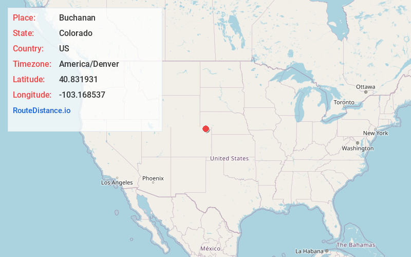
Full AddressBuchanan, CO 80736
-
Coordinates40.8319314, -103.168537
-
LocationColorado , US
-
TimezoneAmerica/Denver
-
Current Local Time3:21:29 AM America/DenverMonday, June 2, 2025
-
Page Views0
Nearby Places
Found 10 places within 50 miles

Padroni
3.7 mi
6.0 km
Padroni, CO
Get directions

Jessica
4.9 mi
7.9 km
Jessica, CO 80751
Get directions
Iliff
7.3 mi
11.7 km
Iliff, CO 80736
Get directions
Selma
8.3 mi
13.4 km
Selma, CO 80736
Get directions
Griff
9.1 mi
14.6 km
Griff, CO 80736
Get directions
Peetz
9.5 mi
15.3 km
Peetz, CO 80747
Get directions
Proctor
11.5 mi
18.5 km
Proctor, CO 80736
Get directions

Logan County
12.8 mi
20.6 km
Logan County, CO
Get directions
Galien
13.0 mi
20.9 km
Galien, CO 80728
Get directions

Sterling
14.4 mi
23.2 km
Sterling, CO 80751
Get directions
Location Links
Local Weather
Weather Information
Coming soon!
Location Map
Static map view of Buchanan, Colorado
Browse Places by Distance
Places within specific distances from Buchanan
Short Distances
Long Distances
Click any distance to see all places within that range from Buchanan. Distances shown in miles (1 mile ≈ 1.61 kilometers).