Distance to Buck Meadows, California

Calculating Your Route
Just a moment while we process your request...
Location Information
-
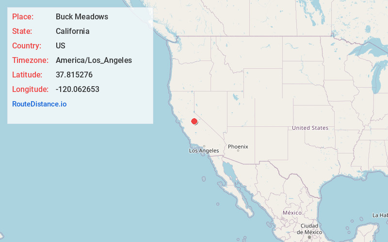
Full AddressBuck Meadows, CA 95321
-
Coordinates37.8152758, -120.0626532
-
LocationBuck Meadows , California , US
-
TimezoneAmerica/Los_Angeles
-
Current Local Time12:42:45 AM America/Los_AngelesSaturday, June 28, 2025
-
Page Views0
About Buck Meadows
Buck Meadows is a census-designated place in Mariposa County, California, United States. The community is located 2 miles east-northeast of Smith Peak, at an elevation of 2,910 feet. The population was 21 at the 2020 census.
Buck Meadows lies just south of the Tuolumne County line.


Nearby Places
Found 10 places within 50 miles

Greeley Hill
6.1 mi
9.8 km
Greeley Hill, CA
Get directions

Groveland
9.3 mi
15.0 km
Groveland, CA
Get directions

Coulterville
10.3 mi
16.6 km
Coulterville, CA 95311
Get directions

Tuolumne
14.1 mi
22.7 km
Tuolumne, CA 95379
Get directions
Soulsbyville
16.0 mi
25.7 km
Soulsbyville, CA
Get directions

Mono Vista
16.9 mi
27.2 km
Mono Vista, CA 95370
Get directions

Twain Harte
17.9 mi
28.8 km
Twain Harte, CA
Get directions

El Portal
18.3 mi
29.5 km
El Portal, CA
Get directions

Mi-Wuk Village
18.6 mi
29.9 km
Mi-Wuk Village, CA
Get directions

Phoenix Lake
18.7 mi
30.1 km
Phoenix Lake, CA 95370
Get directions
Location Links
Local Weather
Weather Information
Coming soon!
Location Map
Static map view of Buck Meadows, California
Browse Places by Distance
Places within specific distances from Buck Meadows
Short Distances
Long Distances
Click any distance to see all places within that range from Buck Meadows. Distances shown in miles (1 mile ≈ 1.61 kilometers).