Distance to Buckeye, Kentucky

Calculating Your Route
Just a moment while we process your request...
Location Information
-
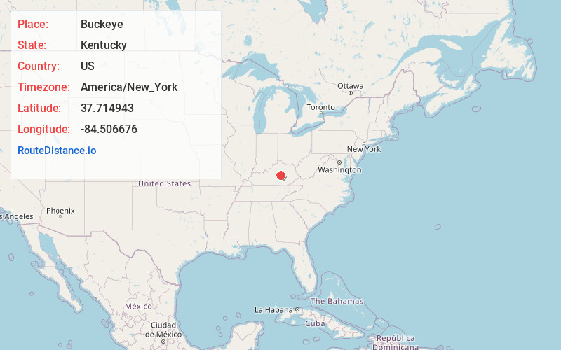
Full AddressBuckeye, KY 40444
-
Coordinates37.714943, -84.506676
-
LocationBuckeye , Kentucky , US
-
TimezoneAmerica/New_York
-
Current Local Time2:32:10 PM America/New_YorkTuesday, June 24, 2025
-
Page Views0
About Buckeye
Buckeye is an unincorporated community in Garrard County, Kentucky, United States. It lies along Route 39 northeast of the city of Lancaster, the county seat of Garrard County. Its elevation is 955 feet.
Nearby Places
Found 10 places within 50 miles

Cottonburg
2.7 mi
4.3 km
Cottonburg, KY 40475
Get directions
McCreary
3.1 mi
5.0 km
McCreary, KY 40444
Get directions
Edenton
3.8 mi
6.1 km
Edenton, KY 40475
Get directions
Judson
3.9 mi
6.3 km
Judson, KY 40444
Get directions
Three Forks
4.1 mi
6.6 km
Three Forks, KY 40444
Get directions
Nina
4.2 mi
6.8 km
Nina, KY 40461
Get directions
Ruthton
4.2 mi
6.8 km
Ruthton, KY 40475
Get directions
Pink
5.1 mi
8.2 km
Pink, KY 40356
Get directions
Crow Valley
5.3 mi
8.5 km
Crow Valley, KY 40475
Get directions
Little Hickman
5.3 mi
8.5 km
Little Hickman, KY 40356
Get directions
Location Links
Local Weather
Weather Information
Coming soon!
Location Map
Static map view of Buckeye, Kentucky
Browse Places by Distance
Places within specific distances from Buckeye
Short Distances
Long Distances
Click any distance to see all places within that range from Buckeye. Distances shown in miles (1 mile ≈ 1.61 kilometers).