Distance to Bucks County, Pennsylvania

Calculating Your Route
Just a moment while we process your request...
Location Information
-
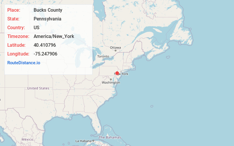
Full AddressBucks County, PA
-
Coordinates40.4107964, -75.2479061
-
LocationPennsylvania , US
-
TimezoneAmerica/New_York
-
Current Local Time1:50:16 PM America/New_YorkSaturday, May 31, 2025
-
Page Views0
About Bucks County
Bucks County, Pennsylvania, is north of Philadelphia and bounded by the Delaware River to the southeast. Washington Crossing Historic Park marks the point where George Washington’s army crossed the river to engage in a pivotal attack during the Revolutionary War. Pennsbury Manor, colonist William Penn’s estate, is downriver. In Doylestown, the county seat, the Mercer Museum exhibits 18th- and 19th-century tools.


Nearby Places
Found 10 places within 50 miles

Hagersville
0.3 mi
0.5 km
Hagersville, East Rockhill Township, PA 18944
Get directions
Keelersville
0.4 mi
0.6 km
Keelersville, Bedminster Township, PA 18944
Get directions

East Branch Perkiomen Creek
0.9 mi
1.4 km
East Branch Perkiomen Creek, Pennsylvania 18944
Get directions
Elephant
1.0 mi
1.6 km
Elephant, PA 18944
Get directions
Weisel
1.2 mi
1.9 km
Weisel, East Rockhill Township, PA 18944
Get directions
East Rockhill Township
2.1 mi
3.4 km
East Rockhill Township, PA
Get directions
Irish Meeting House
2.5 mi
4.0 km
Irish Meeting House, Bedminster Township, PA 18944
Get directions

Blooming Glen
2.9 mi
4.7 km
Blooming Glen, PA 18944
Get directions
Richland Center
3.0 mi
4.8 km
Richland Center, East Rockhill Township, PA 18944
Get directions
Rockhill Station
3.1 mi
5.0 km
Rockhill Station, East Rockhill Township, PA 18960
Get directions
Location Links
Local Weather
Weather Information
Coming soon!
Location Map
Static map view of Bucks County, Pennsylvania
Browse Places by Distance
Places within specific distances from Bucks County
Short Distances
Long Distances
Click any distance to see all places within that range from Bucks County. Distances shown in miles (1 mile ≈ 1.61 kilometers).