Distance to Buckskin Township, Ohio

Calculating Your Route
Just a moment while we process your request...
Location Information
-
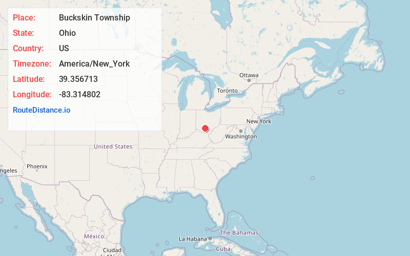
Full AddressBuckskin Township, OH
-
Coordinates39.3567128, -83.3148018
-
LocationBuckskin Township , Ohio , US
-
TimezoneAmerica/New_York
-
Current Local Time7:56:36 PM America/New_YorkThursday, June 19, 2025
-
Page Views0
About Buckskin Township
Buckskin Township is one of the sixteen townships of Ross County, Ohio, United States. The 2020 census found 2,047 people in the township.

Nearby Places
Found 10 places within 50 miles

South Salem
1.5 mi
2.4 km
South Salem, OH 45681
Get directions

Harper
2.9 mi
4.7 km
Harper, Buckskin Township, OH 45628
Get directions

Greenfield
3.6 mi
5.8 km
Greenfield, OH 45123
Get directions

Fruitdale
4.0 mi
6.4 km
Fruitdale, OH 45123
Get directions
Humboldt
5.5 mi
8.9 km
Humboldt, Paint Township, OH 45612
Get directions
Lattaville
5.8 mi
9.3 km
Lattaville, OH 45628
Get directions
Good Hope
6.8 mi
10.9 km
Good Hope, OH 43160
Get directions
Roxabell
7.1 mi
11.4 km
Roxabell, Concord Township, OH 45628
Get directions
Austin
7.4 mi
11.9 km
Austin, OH 45628
Get directions

Frankfort
7.8 mi
12.6 km
Frankfort, OH 45628
Get directions
Location Links
Local Weather
Weather Information
Coming soon!
Location Map
Static map view of Buckskin Township, Ohio
Browse Places by Distance
Places within specific distances from Buckskin Township
Short Distances
Long Distances
Click any distance to see all places within that range from Buckskin Township. Distances shown in miles (1 mile ≈ 1.61 kilometers).