Distance to Bucksnort, Tennessee

Calculating Your Route
Just a moment while we process your request...
Location Information
-
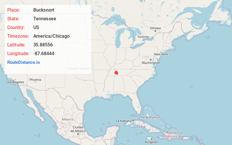
Full AddressBucksnort, TN 37140
-
Coordinates35.88556, -87.68444
-
LocationBucksnort , Tennessee , US
-
TimezoneAmerica/Chicago
-
Current Local Time8:44:52 AM America/ChicagoMonday, May 19, 2025
-
Page Views0
About Bucksnort
Bucksnort is a spring in Hickman County, Tennessee, United States, located on Sugar Creek, 0.2 miles downstream of the confluence of the South Fork of Sugar Creek, 0.2 miles to the south-east of Exit 152 on Interstate 40, and 2.7 miles west of Spot.
Nearby Places
Found 10 places within 50 miles

Only
1.7 mi
2.7 km
Only, TN 37140
Get directions

Furnace
2.5 mi
4.0 km
Furnace, TN 37140
Get directions

Spot
5.2 mi
8.4 km
Spot, TN 37140
Get directions
Bold Spring
5.6 mi
9.0 km
Bold Spring, TN 37101
Get directions
Buffalo
6.8 mi
10.9 km
Buffalo, TN 37078
Get directions
Coble
7.7 mi
12.4 km
Coble, TN 37033
Get directions
Whitfield
8.0 mi
12.9 km
Whitfield, TN 37033
Get directions

Hurricane Mills
8.0 mi
12.9 km
Hurricane Mills, TN 37078
Get directions
Caigletown
9.4 mi
15.1 km
Caigletown, TN 37185
Get directions

Lobelville
9.6 mi
15.4 km
Lobelville, TN 37097
Get directions
Location Links
Local Weather
Weather Information
Coming soon!
Location Map
Static map view of Bucksnort, Tennessee
Browse Places by Distance
Places within specific distances from Bucksnort
Short Distances
Long Distances
Click any distance to see all places within that range from Bucksnort. Distances shown in miles (1 mile ≈ 1.61 kilometers).