Distance to Bucoda, Missouri

Calculating Your Route
Just a moment while we process your request...
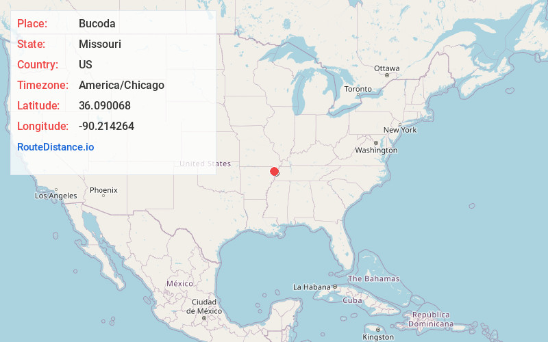
Location Information
-
Full AddressBucoda, Salem Township, MO 63821
-
Coordinates36.0900678, -90.2142642
-
LocationSalem Township , Missouri , US
-
TimezoneAmerica/Chicago
-
Current Local Time4:19:41 AM America/ChicagoSunday, June 22, 2025
-
Page Views0
About Bucoda
Bucoda is an unincorporated community in Dunklin County, Missouri, United States. Bucoda is located on U.S. Route 412, 4.3 miles southwest of Senath.
An early variant name was Byrds, after A. R. Byrds, the original owner of the site.
Nearby Places
Found 10 places within 50 miles

Europa
2.1 mi
3.4 km
Europa, MO 63876
Get directions

Arbyrd
3.0 mi
4.8 km
Arbyrd, MO 63821
Get directions

Senath
4.3 mi
6.9 km
Senath, MO 63876
Get directions

Cardwell
5.3 mi
8.5 km
Cardwell, MO 63829
Get directions
Hargrove
6.2 mi
10.0 km
Hargrove, Buffalo Township, MO 63829
Get directions
Mounds
6.4 mi
10.3 km
Mounds, AR 72461
Get directions
Hornersville
6.5 mi
10.5 km
Hornersville, MO 63855
Get directions
Bertig
6.6 mi
10.6 km
Bertig, AR 72450
Get directions
Buck Donic
7.1 mi
11.4 km
Buck Donic, Buffalo Township, MO 63829
Get directions
Fritz
7.7 mi
12.4 km
Fritz, AR 72461
Get directions
Location Links
Local Weather
Weather Information
Coming soon!
Location Map
Static map view of Bucoda, Missouri
Browse Places by Distance
Places within specific distances from Bucoda
Short Distances
Long Distances
Click any distance to see all places within that range from Bucoda. Distances shown in miles (1 mile ≈ 1.61 kilometers).