Distance to Buena Park, California

Calculating Your Route
Just a moment while we process your request...
Location Information
-
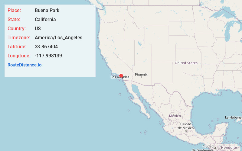
Full AddressBuena Park, CA
-
Coordinates33.8674044, -117.9981387
-
LocationBuena Park , California , US
-
TimezoneAmerica/Los_Angeles
-
Current Local Time1:49:08 PM America/Los_AngelesFriday, June 6, 2025
-
Website
-
Page Views0
About Buena Park
Buena Park is a city in northern Orange County, California, United States. As of the 2020 census its population was 84,034. It is the location of several tourist attractions, including Knott's Berry Farm.


Nearby Places
Found 10 places within 50 miles

Fullerton
4.2 mi
6.8 km
Fullerton, CA
Get directions

Anaheim
5.3 mi
8.5 km
Anaheim, CA
Get directions

Norwalk
5.5 mi
8.9 km
Norwalk, CA 90650
Get directions

Garden Grove
7.3 mi
11.7 km
Garden Grove, CA
Get directions

Westminster
7.5 mi
12.1 km
Westminster, CA
Get directions

Whittier
7.7 mi
12.4 km
Whittier, CA
Get directions

Downey
9.2 mi
14.8 km
Downey, CA
Get directions

Orange
9.9 mi
15.9 km
Orange, CA
Get directions

Santa Ana
11.3 mi
18.2 km
Santa Ana, CA
Get directions

Long Beach
13.1 mi
21.1 km
Long Beach, CA
Get directions
Location Links
Local Weather
Weather Information
Coming soon!
Location Map
Static map view of Buena Park, California
Browse Places by Distance
Places within specific distances from Buena Park
Short Distances
Long Distances
Click any distance to see all places within that range from Buena Park. Distances shown in miles (1 mile ≈ 1.61 kilometers).