Distance to Buford, North Dakota

Calculating Your Route
Just a moment while we process your request...
Location Information
-
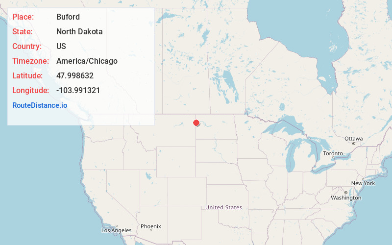
Full AddressBuford, ND 58801
-
Coordinates47.9986317, -103.9913205
-
LocationBuford , North Dakota , US
-
TimezoneAmerica/Chicago
-
Current Local Time10:59:15 AM America/ChicagoFriday, June 13, 2025
-
Page Views0
About Buford
Buford is an unincorporated community in Williams County, North Dakota, United States. It is the nearest community to the Fort Union Trading Post National Historic Site. It is named for the nearby historic Fort Buford at the confluence of the Missouri and Yellowstone Rivers.
Nearby Places
Found 10 places within 50 miles

Marley
4.4 mi
7.1 km
Marley, ND 58801
Get directions

Snowden
4.7 mi
7.6 km
Snowden, MT 59212
Get directions

Trenton
8.7 mi
14.0 km
Trenton, ND 58801
Get directions
Cartwright
10.1 mi
16.3 km
Cartwright, ND 58838
Get directions

Fairview
10.1 mi
16.3 km
Fairview, MT 59221
Get directions
East Fairview
10.3 mi
16.6 km
East Fairview, ND 59221
Get directions
Ludington
12.4 mi
20.0 km
Ludington, MT 59221
Get directions

Bainville
14.5 mi
23.3 km
Bainville, MT 59212
Get directions
Wooley
17.0 mi
27.4 km
Wooley, MT 59270
Get directions

Alexander
19.4 mi
31.2 km
Alexander, ND 58831
Get directions
Location Links
Local Weather
Weather Information
Coming soon!
Location Map
Static map view of Buford, North Dakota
Browse Places by Distance
Places within specific distances from Buford
Short Distances
Long Distances
Click any distance to see all places within that range from Buford. Distances shown in miles (1 mile ≈ 1.61 kilometers).