Distance to Bullard, Texas

Calculating Your Route
Just a moment while we process your request...
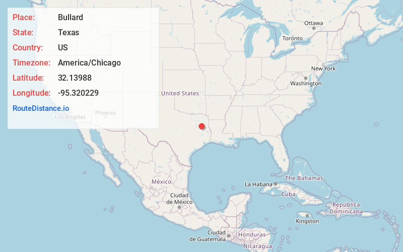
Location Information
-
Full AddressBullard, TX
-
Coordinates32.1398804, -95.320229
-
LocationBullard , Texas , US
-
TimezoneAmerica/Chicago
-
Current Local Time4:17:43 PM America/ChicagoSunday, June 1, 2025
-
Page Views0
About Bullard
Bullard is a small town in Smith and Cherokee counties in the east-central part of the U.S. state of Texas. U.S. Route 69 and Farm-to-Market Roads 2137, 2493, and 344 intersect here, about 15 miles south of the larger city of Tyler. Its population was 3,318 at the 2020 census, up from 2,463 at the 2010 census.


Nearby Places
Found 10 places within 50 miles

Whitehouse
8.2 mi
13.2 km
Whitehouse, TX 75791
Get directions

Jacksonville
12.5 mi
20.1 km
Jacksonville, TX 75766
Get directions

Tyler
14.6 mi
23.5 km
Tyler, TX
Get directions

Rusk
25.8 mi
41.5 km
Rusk, TX 75785
Get directions

Lindale
26.5 mi
42.6 km
Lindale, TX
Get directions

Henderson
30.5 mi
49.1 km
Henderson, TX
Get directions

Kilgore
31.1 mi
50.1 km
Kilgore, TX 75662
Get directions

Athens
31.6 mi
50.9 km
Athens, TX
Get directions

Palestine
31.8 mi
51.2 km
Palestine, TX
Get directions

Gladewater
35.2 mi
56.6 km
Gladewater, TX 75647
Get directions
Location Links
Local Weather
Weather Information
Coming soon!
Location Map
Static map view of Bullard, Texas
Browse Places by Distance
Places within specific distances from Bullard
Short Distances
Long Distances
Click any distance to see all places within that range from Bullard. Distances shown in miles (1 mile ≈ 1.61 kilometers).