Distance to Burgess, Alabama

Calculating Your Route
Just a moment while we process your request...
Location Information
-
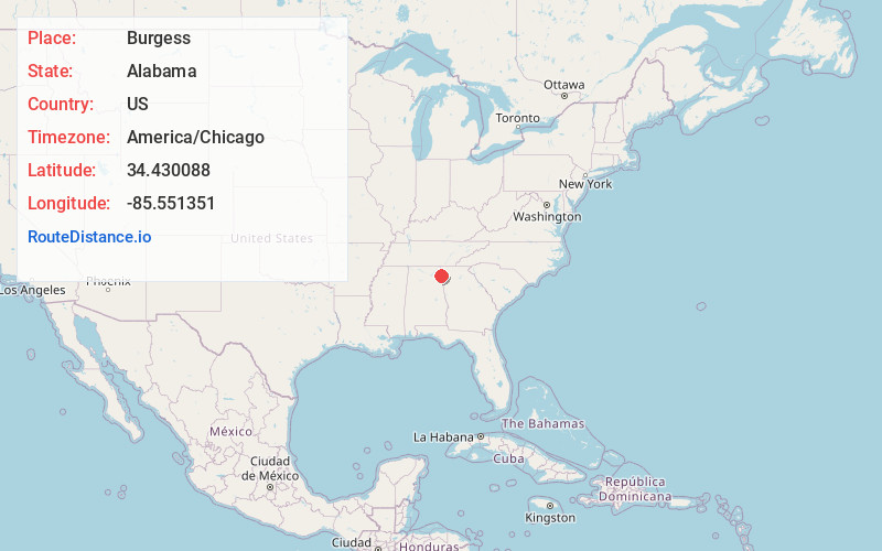
Full AddressBurgess, AL 35973
-
Coordinates34.4300877, -85.5513511
-
LocationAlabama , US
-
TimezoneAmerica/Chicago
-
Current Local Time2:15:14 AM America/ChicagoThursday, June 26, 2025
-
Page Views0
Nearby Places
Found 10 places within 50 miles

Berry Springs
2.4 mi
3.9 km
Berry Springs, AL 35973
Get directions
Grover
2.6 mi
4.2 km
Grover, AL 35973
Get directions
New Moon
3.1 mi
5.0 km
New Moon, AL 35973
Get directions

Broomtown
5.1 mi
8.2 km
Broomtown, AL 35973
Get directions
Blanche
5.7 mi
9.2 km
Blanche, AL 35973
Get directions

Menlo
5.7 mi
9.2 km
Menlo, GA 30731
Get directions
Fisher Crossroads
6.1 mi
9.8 km
Fisher Crossroads, Fort Payne, AL 35967
Get directions
Watson
7.2 mi
11.6 km
Watson, AL 35973
Get directions
Adamsburg
7.2 mi
11.6 km
Adamsburg, AL 35967
Get directions
Taft
7.4 mi
11.9 km
Taft, AL 35973
Get directions
Location Links
Local Weather
Weather Information
Coming soon!
Location Map
Static map view of Burgess, Alabama
Browse Places by Distance
Places within specific distances from Burgess
Short Distances
Long Distances
Click any distance to see all places within that range from Burgess. Distances shown in miles (1 mile ≈ 1.61 kilometers).