Distance to Burgess, South Carolina

Calculating Your Route
Just a moment while we process your request...
Location Information
-
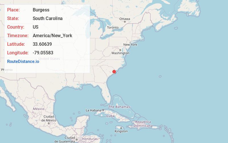
Full AddressBurgess, SC 29576
-
Coordinates33.60639, -79.05583
-
LocationBurgess , South Carolina , US
-
TimezoneAmerica/New_York
-
Current Local Time3:56:28 AM America/New_YorkWednesday, June 18, 2025
-
Page Views0
About Burgess
Burgess is an unincorporated community in Horry County, South Carolina, United States, along South Carolina Highway 707 and is located between the southern boundary between Horry and Georgetown counties.
Nearby Places
Found 10 places within 50 miles

Garden City
2.9 mi
4.7 km
Garden City, SC
Get directions

Murrells Inlet
3.9 mi
6.3 km
Murrells Inlet, SC 29576
Get directions

Surfside Beach
4.8 mi
7.7 km
Surfside Beach, SC 29575
Get directions

Bucksport
5.0 mi
8.0 km
Bucksport, SC 29527
Get directions
Platt Spring
5.4 mi
8.7 km
Platt Spring, SC 29575
Get directions

Socastee
6.3 mi
10.1 km
Socastee, SC
Get directions
Mt Rena
7.4 mi
11.9 km
Mt Rena, SC 29585
Get directions
Belin
7.9 mi
12.7 km
Belin, SC 29585
Get directions
Keys Field
9.5 mi
15.3 km
Keys Field, SC 29527
Get directions
Forestbrook
9.8 mi
15.8 km
Forestbrook, SC
Get directions
Location Links
Local Weather
Weather Information
Coming soon!
Location Map
Static map view of Burgess, South Carolina
Browse Places by Distance
Places within specific distances from Burgess
Short Distances
Long Distances
Click any distance to see all places within that range from Burgess. Distances shown in miles (1 mile ≈ 1.61 kilometers).