Distance to Burna, Kentucky

Calculating Your Route
Just a moment while we process your request...
Location Information
-
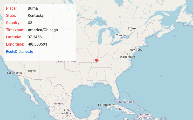
Full AddressBurna, KY
-
Coordinates37.2456099, -88.360591
-
LocationBurna , Kentucky , US
-
TimezoneAmerica/Chicago
-
Current Local Time5:32:31 AM America/ChicagoSaturday, June 21, 2025
-
Page Views0
About Burna
Burna is an unincorporated community and census-designated place in central Livingston County, Kentucky, United States. As of the 2010 census the population was 257. It is home to the North Livingston Elementary School and Livingston County Middle School.
The name was decided upon by a contest.
Nearby Places
Found 10 places within 50 miles

Salem
6.5 mi
10.5 km
Salem, KY 42078
Get directions

Smithland
7.7 mi
12.4 km
Smithland, KY 42081
Get directions

Golconda
10.9 mi
17.5 km
Golconda, IL
Get directions

Rosiclare
12.3 mi
19.8 km
Rosiclare, IL 62982
Get directions

Elizabethtown
14.2 mi
22.9 km
Elizabethtown, IL 62931
Get directions

Calvert City
14.7 mi
23.7 km
Calvert City, KY
Get directions

Ledbetter
15.1 mi
24.3 km
Ledbetter, KY 42058
Get directions

Crayne
15.4 mi
24.8 km
Crayne, KY
Get directions

Gilbertsville
15.6 mi
25.1 km
Gilbertsville, KY
Get directions

Marion
16.5 mi
26.6 km
Marion, KY 42064
Get directions
Location Links
Local Weather
Weather Information
Coming soon!
Location Map
Static map view of Burna, Kentucky
Browse Places by Distance
Places within specific distances from Burna
Short Distances
Long Distances
Click any distance to see all places within that range from Burna. Distances shown in miles (1 mile ≈ 1.61 kilometers).