Distance to Burnett, Minnesota

Calculating Your Route
Just a moment while we process your request...
Location Information
-
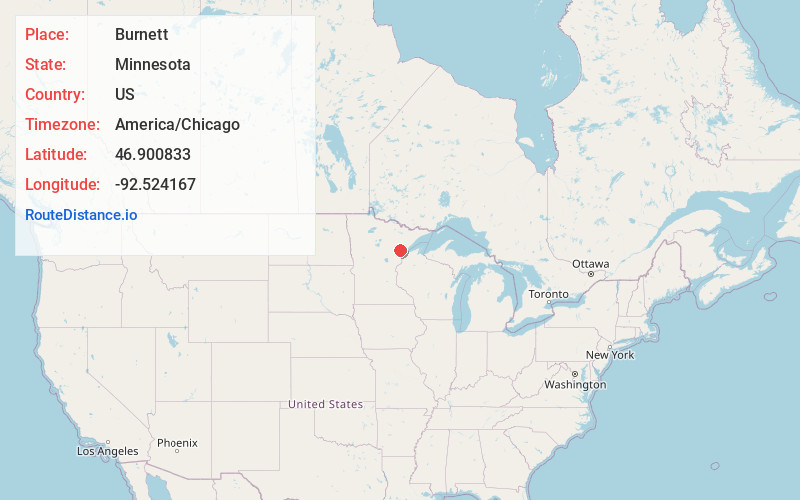
Full AddressBurnett, MN 55779
-
Coordinates46.900833, -92.524167
-
LocationBurnett , Minnesota , US
-
TimezoneAmerica/Chicago
-
Current Local Time2:13:56 PM America/ChicagoTuesday, June 3, 2025
-
Page Views0
About Burnett
Burnett is an unincorporated community in Industrial Township, Saint Louis County, Minnesota, United States.
The community is located 25 miles northwest of the city of Duluth at the intersection of Industrial Road and Center Line Road.
State Highway 33 is nearby. The Cloquet River flows through the community.
Nearby Places
Found 10 places within 50 miles

Culver
2.4 mi
3.9 km
Culver, MN 55779
Get directions
Grand Lake
3.6 mi
5.8 km
Grand Lake, MN 55779
Get directions

Brookston
4.4 mi
7.1 km
Brookston, MN 55711
Get directions
Arlberg
4.4 mi
7.1 km
Arlberg, MN 55711
Get directions

Saginaw
4.7 mi
7.6 km
Saginaw, MN 55779
Get directions
Alborn
5.6 mi
9.0 km
Alborn, MN 55702
Get directions
Harnell Park
6.1 mi
9.8 km
Harnell Park, MN 55779
Get directions
Maney
7.3 mi
11.7 km
Maney, MN 55702
Get directions

Twig
7.6 mi
12.2 km
Twig, MN 55779
Get directions
Twig Station
8.5 mi
13.7 km
Twig Station, MN 55779
Get directions
Location Links
Local Weather
Weather Information
Coming soon!
Location Map
Static map view of Burnett, Minnesota
Browse Places by Distance
Places within specific distances from Burnett
Short Distances
Long Distances
Click any distance to see all places within that range from Burnett. Distances shown in miles (1 mile ≈ 1.61 kilometers).