Distance to Burnettown, South Carolina

Calculating Your Route
Just a moment while we process your request...
Location Information
-
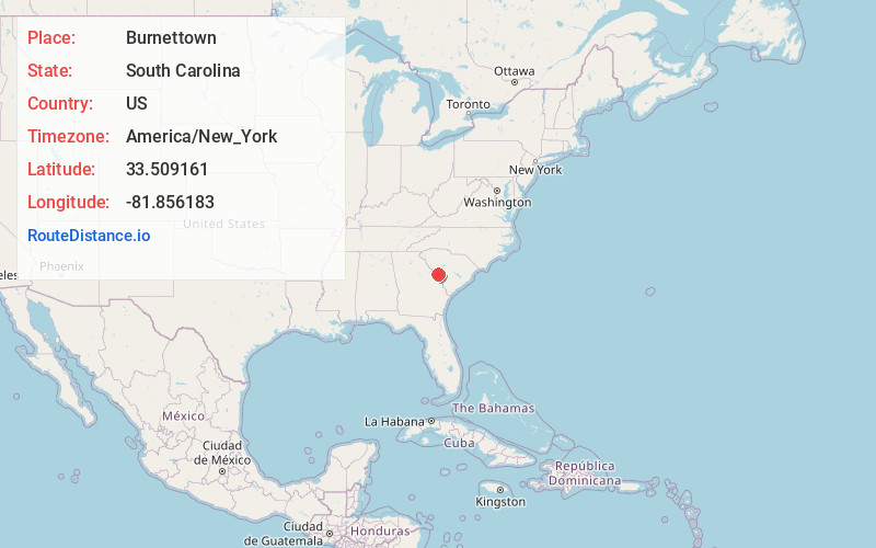
Full AddressBurnettown, SC
-
Coordinates33.5091608, -81.8561826
-
LocationBurnettown , South Carolina , US
-
TimezoneAmerica/New_York
-
Current Local Time1:12:38 AM America/New_YorkSunday, June 22, 2025
-
Page Views0
About Burnettown
Burnettown is a town in Aiken County, South Carolina, United States. The population was 3,105 at the 2020 census. It is part of the Augusta, Georgia metropolitan area. Burnettown is located in historic Horse Creek Valley.


Nearby Places
Found 10 places within 50 miles

Gloverville
1.9 mi
3.1 km
Gloverville, SC
Get directions

Clearwater
2.2 mi
3.5 km
Clearwater, SC
Get directions
Belvedere
5.3 mi
8.5 km
Belvedere, SC 29841
Get directions

North Augusta
6.7 mi
10.8 km
North Augusta, SC
Get directions

Aiken
8.6 mi
13.8 km
Aiken, SC
Get directions

Augusta
10.3 mi
16.6 km
Augusta, GA
Get directions

Martinez
12.7 mi
20.4 km
Martinez, GA
Get directions

Evans
15.9 mi
25.6 km
Evans, GA
Get directions

Hephzibah
19.3 mi
31.1 km
Hephzibah, GA 30815
Get directions

Grovetown
20.1 mi
32.3 km
Grovetown, GA 30813
Get directions
Location Links
Local Weather
Weather Information
Coming soon!
Location Map
Static map view of Burnettown, South Carolina
Browse Places by Distance
Places within specific distances from Burnettown
Short Distances
Long Distances
Click any distance to see all places within that range from Burnettown. Distances shown in miles (1 mile ≈ 1.61 kilometers).