Distance to Burney, Indiana

Calculating Your Route
Just a moment while we process your request...
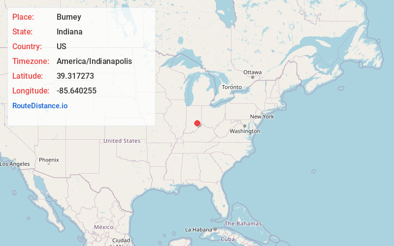
Location Information
-
Full AddressBurney, IN 47240
-
Coordinates39.3172726, -85.6402546
-
LocationBurney , Indiana , US
-
TimezoneAmerica/Indianapolis
-
Page Views0
About Burney
Burney is an unincorporated community in Clay Township, Decatur County, Indiana.
Nearby Places
Found 10 places within 50 miles

Hartsville
4.6 mi
7.4 km
Hartsville, IN
Get directions

Adams
6.2 mi
10.0 km
Adams, IN 47240
Get directions

Letts
7.0 mi
11.3 km
Letts, IN 47240
Get directions

Hope
7.1 mi
11.4 km
Hope, IN 47246
Get directions

St Paul
7.7 mi
12.4 km
St Paul, IN
Get directions

Newbern
8.2 mi
13.2 km
Newbern, IN
Get directions

Greensburg
8.5 mi
13.7 km
Greensburg, IN 47240
Get directions
St. Omer
8.5 mi
13.7 km
St. Omer, IN 47272
Get directions
Waldron
9.5 mi
15.3 km
Waldron, IN 46182
Get directions

Westport
10.4 mi
16.7 km
Westport, IN 47283
Get directions
Location Links
Local Weather
Weather Information
Coming soon!
Location Map
Static map view of Burney, Indiana
Browse Places by Distance
Places within specific distances from Burney
Short Distances
Long Distances
Click any distance to see all places within that range from Burney. Distances shown in miles (1 mile ≈ 1.61 kilometers).