Distance to Burnham, Maine

Calculating Your Route
Just a moment while we process your request...
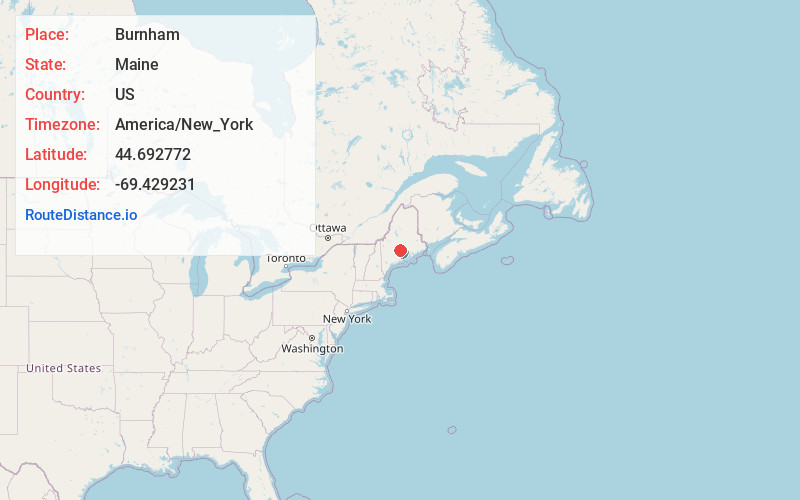
Location Information
-
Full AddressBurnham, ME
-
Coordinates44.6927723, -69.4292308
-
LocationBurnham , Maine , US
-
TimezoneAmerica/New_York
-
Current Local Time4:27:25 AM America/New_YorkFriday, June 20, 2025
-
Page Views0
About Burnham
Burnham is a town in Waldo County, Maine, United States. The population was 1,096 at the 2020 census.
Nearby Places
Found 10 places within 50 miles

Clinton
5.3 mi
8.5 km
Clinton, ME
Get directions

Pittsfield
6.7 mi
10.8 km
Pittsfield, ME
Get directions

Unity
7.3 mi
11.7 km
Unity, ME
Get directions

Canaan
8.1 mi
13.0 km
Canaan, ME
Get directions
Troy
9.4 mi
15.1 km
Troy, ME
Get directions

Benton
9.5 mi
15.3 km
Benton, ME 04901
Get directions

Fairfield
11.0 mi
17.7 km
Fairfield, ME
Get directions

Albion
11.1 mi
17.9 km
Albion, ME 04910
Get directions

Palmyra
11.2 mi
18.0 km
Palmyra, ME 04965
Get directions
Thorndike
11.3 mi
18.2 km
Thorndike, ME 04986
Get directions
Location Links
Local Weather
Weather Information
Coming soon!
Location Map
Static map view of Burnham, Maine
Browse Places by Distance
Places within specific distances from Burnham
Short Distances
Long Distances
Click any distance to see all places within that range from Burnham. Distances shown in miles (1 mile ≈ 1.61 kilometers).