Distance to Burnham Park Promontory Point, Illinois

Calculating Your Route
Just a moment while we process your request...
Location Information
-
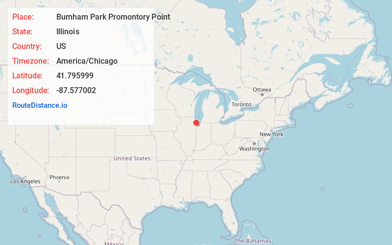
Full AddressBurnham Park Promontory Point, 5491 S DuSable Lake Shore Dr, Chicago, IL 60615
-
Coordinates41.795999, -87.5770023
-
Street5491 S DuSable Lake Shore Dr
-
NeighborhoodHyde Park
-
LocationChicago , Illinois , US
-
TimezoneAmerica/Chicago
-
Current Local Time6:18:54 AM America/ChicagoFriday, June 6, 2025
-
Page Views1
About Burnham Park Promontory Point
Part of Burnham Park, this scenic man-made peninsula & picnic spot juts into Lake Michigan.


Nearby Places
Found 10 places within 50 miles

Chicago
6.3 mi
10.1 km
Chicago, IL
Get directions

Ohio Street Beach
7.0 mi
11.3 km
Ohio Street Beach, Illinois 60611
Get directions

Whiting
9.1 mi
14.6 km
Whiting, IN
Get directions

Hometown
9.2 mi
14.8 km
Hometown, IL 60456
Get directions

Fullerton Beach
9.4 mi
15.1 km
Fullerton Beach, Chicago, IL 60614
Get directions

Cicero
9.5 mi
15.3 km
Cicero, IL
Get directions

Burbank
10.1 mi
16.3 km
Burbank, IL 60459
Get directions

Calumet Park
10.2 mi
16.4 km
Calumet Park, IL
Get directions

Oak Lawn
10.3 mi
16.6 km
Oak Lawn, IL 60453
Get directions

Stickney Township
10.3 mi
16.6 km
Stickney Township, IL
Get directions
Location Links
Local Weather
Weather Information
Coming soon!
Location Map
Static map view of Burnham Park Promontory Point, Illinois
Browse Places by Distance
Places within specific distances from Burnham Park Promontory Point
Short Distances
Long Distances
Click any distance to see all places within that range from Burnham Park Promontory Point. Distances shown in miles (1 mile ≈ 1.61 kilometers).