Distance to Burns, Texas

Calculating Your Route
Just a moment while we process your request...
Location Information
-
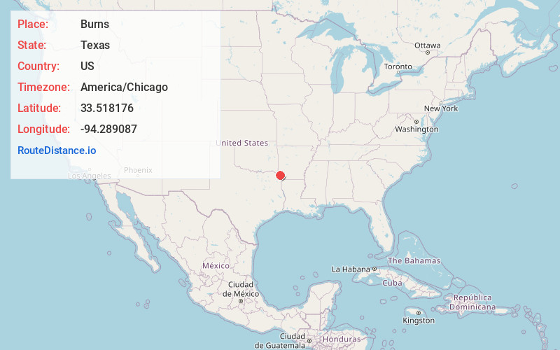
Full AddressBurns, TX 75561
-
Coordinates33.5181764, -94.2890871
-
LocationBurns , Texas , US
-
TimezoneAmerica/Chicago
-
Current Local Time5:21:33 AM America/ChicagoSaturday, May 31, 2025
-
Page Views0
Nearby Places
Found 10 places within 50 miles

Smith Hill
1.6 mi
2.6 km
Smith Hill, TX 75561
Get directions
Redbank
1.8 mi
2.9 km
Redbank, TX 75561
Get directions

Hooks
3.6 mi
5.8 km
Hooks, TX 75561
Get directions

Leary
4.8 mi
7.7 km
Leary, TX
Get directions
Red Lick
7.6 mi
12.2 km
Red Lick, TX 75503
Get directions

New Boston
8.3 mi
13.4 km
New Boston, TX 75570
Get directions
Nash
10.5 mi
16.9 km
Nash, TX
Get directions
Redwater
10.9 mi
17.5 km
Redwater, TX
Get directions

Little River County
11.1 mi
17.9 km
Little River County, AR
Get directions
Comet
11.8 mi
19.0 km
Comet, AR 71822
Get directions
Location Links
Local Weather
Weather Information
Coming soon!
Location Map
Static map view of Burns, Texas
Browse Places by Distance
Places within specific distances from Burns
Short Distances
Long Distances
Click any distance to see all places within that range from Burns. Distances shown in miles (1 mile ≈ 1.61 kilometers).