Distance to Burns, Mississippi

Calculating Your Route
Just a moment while we process your request...
Location Information
-
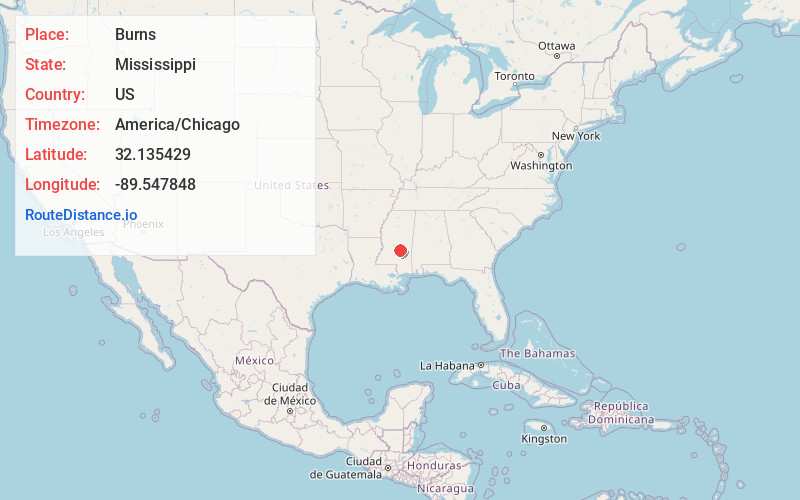
Full AddressBurns, MS 39152
-
Coordinates32.1354292, -89.5478475
-
LocationBurns , Mississippi , US
-
TimezoneAmerica/Chicago
-
Current Local Time11:04:42 AM America/ChicagoMonday, June 23, 2025
-
Page Views0
Nearby Places
Found 10 places within 50 miles

Raleigh
7.2 mi
11.6 km
Raleigh, MS 39153
Get directions

Homewood
7.6 mi
12.2 km
Homewood, MS 39074
Get directions
Polkville
9.4 mi
15.1 km
Polkville, MS
Get directions
Stage
11.4 mi
18.3 km
Stage, MS 39117
Get directions
Clear Springs
11.9 mi
19.2 km
Clear Springs, MS 39338
Get directions
Sylvarena
13.0 mi
20.9 km
Sylvarena, MS 39153
Get directions

Puckett
13.9 mi
22.4 km
Puckett, MS
Get directions
Fikestown
14.3 mi
23.0 km
Fikestown, MS 39092
Get directions
Raworth
15.8 mi
25.4 km
Raworth, MS 39117
Get directions
Buckleytown
16.0 mi
25.7 km
Buckleytown, MS 39092
Get directions
Location Links
Local Weather
Weather Information
Coming soon!
Location Map
Static map view of Burns, Mississippi
Browse Places by Distance
Places within specific distances from Burns
Short Distances
Long Distances
Click any distance to see all places within that range from Burns. Distances shown in miles (1 mile ≈ 1.61 kilometers).