Distance to Burnside, Iowa

Calculating Your Route
Just a moment while we process your request...
Location Information
-
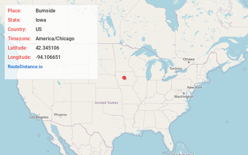
Full AddressBurnside, IA 50521
-
Coordinates42.3451064, -94.1066512
-
LocationBurnside , Iowa , US
-
TimezoneAmerica/Chicago
-
Current Local Time12:10:48 AM America/ChicagoSunday, June 22, 2025
-
Page Views0
About Burnside
Burnside is an unincorporated community in Webster County, Iowa, United States. Its elevation is 1,138 feet. Burnside has a post office with the ZIP code 50521.
Nearby Places
Found 10 places within 50 miles

Lehigh
3.0 mi
4.8 km
Lehigh, IA 50557
Get directions
Otho
5.9 mi
9.5 km
Otho, IA 50569
Get directions
Dayton
6.1 mi
9.8 km
Dayton, IA 50530
Get directions
Harcourt
6.7 mi
10.8 km
Harcourt, IA 50544
Get directions
Coalville
7.0 mi
11.3 km
Coalville, IA 50501
Get directions
Callender
9.7 mi
15.6 km
Callender, IA 50523
Get directions

Duncombe
10.4 mi
16.7 km
Duncombe, IA 50532
Get directions
Gowrie
10.4 mi
16.7 km
Gowrie, IA 50543
Get directions

Stratford
10.5 mi
16.9 km
Stratford, IA 50249
Get directions

Fort Dodge
11.0 mi
17.7 km
Fort Dodge, IA 50501
Get directions
Location Links
Local Weather
Weather Information
Coming soon!
Location Map
Static map view of Burnside, Iowa
Browse Places by Distance
Places within specific distances from Burnside
Short Distances
Long Distances
Click any distance to see all places within that range from Burnside. Distances shown in miles (1 mile ≈ 1.61 kilometers).