Distance to Burnstad, North Dakota

Calculating Your Route
Just a moment while we process your request...
Location Information
-
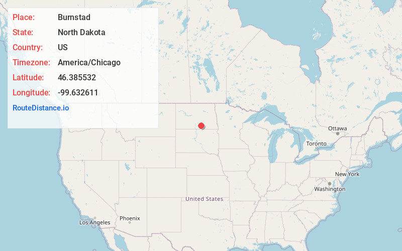
Full AddressBurnstad, ND 58495
-
Coordinates46.3855323, -99.6326107
-
LocationBurnstad , North Dakota , US
-
TimezoneAmerica/Chicago
-
Current Local Time2:05:27 AM America/ChicagoSaturday, June 28, 2025
-
Page Views0
About Burnstad
Burnstad is an unincorporated community rural hamlet in Logan County, North Dakota, United States. There are only two farm homes there currently, no businesses or services.
Nearby Places
Found 10 places within 50 miles

Wishek
9.6 mi
15.4 km
Wishek, ND 58495
Get directions

Napoleon
10.7 mi
17.2 km
Napoleon, ND 58561
Get directions

Lehr
15.2 mi
24.5 km
Lehr, ND 58460
Get directions
Kintyre
18.9 mi
30.4 km
Kintyre, ND 58549
Get directions

Streeter
22.8 mi
36.7 km
Streeter, ND 58483
Get directions
Braddock
25.1 mi
40.4 km
Braddock, ND 58524
Get directions
Fredonia
25.9 mi
41.7 km
Fredonia, ND 58440
Get directions
Venturia
27.1 mi
43.6 km
Venturia, ND
Get directions
Ashley
27.3 mi
43.9 km
Ashley, ND 58413
Get directions

Gackle
28.6 mi
46.0 km
Gackle, ND 58442
Get directions
Location Links
Local Weather
Weather Information
Coming soon!
Location Map
Static map view of Burnstad, North Dakota
Browse Places by Distance
Places within specific distances from Burnstad
Short Distances
Long Distances
Click any distance to see all places within that range from Burnstad. Distances shown in miles (1 mile ≈ 1.61 kilometers).