Distance to Burnt Corn, Alabama

Calculating Your Route
Just a moment while we process your request...
Location Information
-
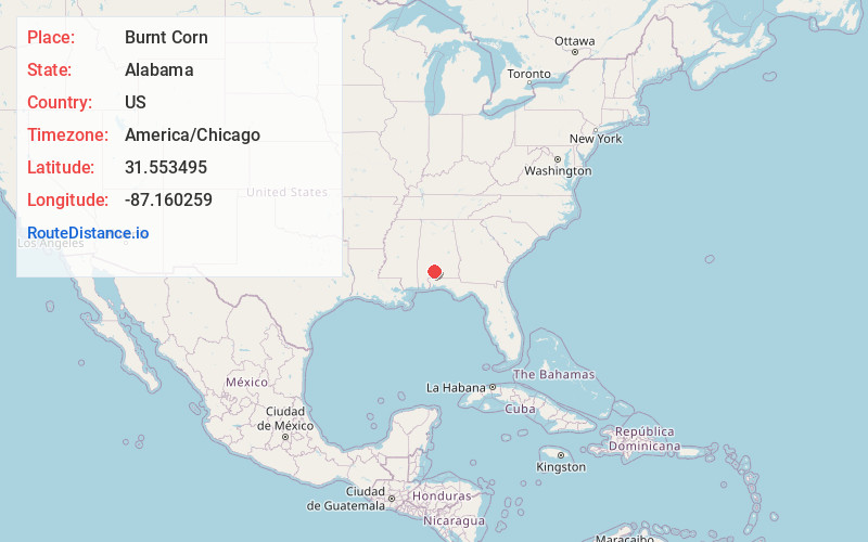
Full AddressBurnt Corn, AL 36460
-
Coordinates31.5534949, -87.1602592
-
LocationBurnt Corn , Alabama , US
-
TimezoneAmerica/Chicago
-
Current Local Time9:05:10 PM America/ChicagoSaturday, June 28, 2025
-
Page Views0
About Burnt Corn
Burnt Corn is an unincorporated community on the boundary between Monroe County and Conecuh County in Alabama, United States. It is located near the source of Burnt Corn Creek, at the intersection of two historic trading paths. It has been noted for its unusual name.
Nearby Places
Found 10 places within 50 miles

Green Street
2.4 mi
3.9 km
Green Street, AL 36471
Get directions
Harpers Store
3.2 mi
5.1 km
Harpers Store, AL 36401
Get directions
Fowler
4.5 mi
7.2 km
Fowler, AL 36471
Get directions
Fairnelson
5.0 mi
8.0 km
Fairnelson, AL 36401
Get directions
Nichburg
5.3 mi
8.5 km
Nichburg, AL 36475
Get directions
Loree
6.2 mi
10.0 km
Loree, AL 36475
Get directions
Pine Orchard
6.2 mi
10.0 km
Pine Orchard, AL 36471
Get directions
Peterman
6.2 mi
10.0 km
Peterman, AL 36471
Get directions
Monroeton
7.0 mi
11.3 km
Monroeton, AL 36460
Get directions
Drewry
7.2 mi
11.6 km
Drewry, AL 36460
Get directions
Location Links
Local Weather
Weather Information
Coming soon!
Location Map
Static map view of Burnt Corn, Alabama
Browse Places by Distance
Places within specific distances from Burnt Corn
Short Distances
Long Distances
Click any distance to see all places within that range from Burnt Corn. Distances shown in miles (1 mile ≈ 1.61 kilometers).