Distance to Burnwell, West Virginia

Calculating Your Route
Just a moment while we process your request...
Location Information
-
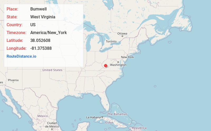
Full AddressBurnwell, WV 25075
-
Coordinates38.0526075, -81.375388
-
LocationBurnwell , West Virginia , US
-
TimezoneAmerica/New_York
-
Current Local Time10:56:47 AM America/New_YorkTuesday, May 20, 2025
-
Page Views0
About Burnwell
Burnwell is an unincorporated community in Kanawha County, West Virginia, United States. Burnwell is 10.5 miles east-northeast of Sylvester.
The community originally was a coal-mining community, hence the name Burnwell.
Nearby Places
Found 10 places within 50 miles

Collinsdale
1.3 mi
2.1 km
Collinsdale, WV 25083
Get directions
Whittaker
1.7 mi
2.7 km
Whittaker, WV 25075
Get directions

Carbon
2.8 mi
4.5 km
Carbon, WV 25075
Get directions
Nuckolls
2.9 mi
4.7 km
Nuckolls, WV 25075
Get directions
Quarrier
3.1 mi
5.0 km
Quarrier, WV 25075
Get directions
Republic
3.1 mi
5.0 km
Republic, WV 25075
Get directions
Decota
3.4 mi
5.5 km
Decota, WV 25075
Get directions
Coalfield
3.6 mi
5.8 km
Coalfield, WV 25075
Get directions
McDunn
3.6 mi
5.8 km
McDunn, WV 25161
Get directions
Milburn
4.2 mi
6.8 km
Milburn, WV 25008
Get directions
Location Links
Local Weather
Weather Information
Coming soon!
Location Map
Static map view of Burnwell, West Virginia
Browse Places by Distance
Places within specific distances from Burnwell
Short Distances
Long Distances
Click any distance to see all places within that range from Burnwell. Distances shown in miles (1 mile ≈ 1.61 kilometers).