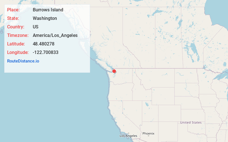
Distance to Burrows Island, Washington

Calculating Your Route
Just a moment while we process your request...
Location Information
-
Full AddressBurrows Island, Washington 98221
-
Coordinates48.4802777, -122.7008333
-
LocationWashington , US
-
TimezoneAmerica/Los_Angeles
-
Current Local Time8:20:31 PM America/Los_AngelesThursday, June 19, 2025
-
Page Views0
Nearby Places
Found 10 places within 50 miles

Rosario Beach
4.5 mi
7.2 km
Rosario Beach, WA 98221
Get directions

Anacortes
4.6 mi
7.4 km
Anacortes, WA
Get directions

Dewey
5.7 mi
9.2 km
Dewey, WA 98221
Get directions
Yokeko Point
6.0 mi
9.7 km
Yokeko Point, WA 98221
Get directions

Similk Beach
6.1 mi
9.8 km
Similk Beach, WA 98221
Get directions
Gibraltar
6.4 mi
10.3 km
Gibraltar, WA 98221
Get directions
Thatcher
7.5 mi
12.1 km
Thatcher, WA 98222
Get directions
West Shore
7.8 mi
12.6 km
West Shore, WA 98257
Get directions
Snee Oosh
7.8 mi
12.6 km
Snee Oosh, WA 98257
Get directions
Urban
9.5 mi
15.3 km
Urban, WA 98221
Get directions
Location Links
Local Weather
Weather Information
Coming soon!
Location Map
Static map view of Burrows Island, Washington
Browse Places by Distance
Places within specific distances from Burrows Island
Short Distances
Long Distances
Click any distance to see all places within that range from Burrows Island. Distances shown in miles (1 mile ≈ 1.61 kilometers).