Distance to Butterfield, Texas

Calculating Your Route
Just a moment while we process your request...
Location Information
-
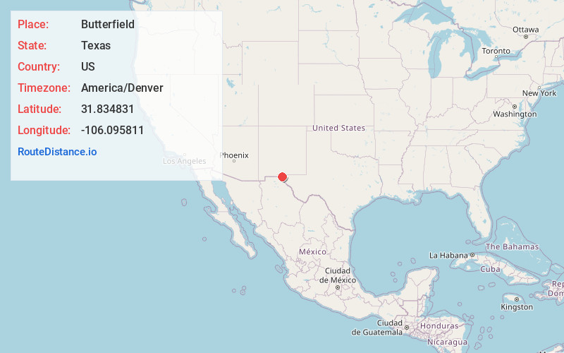
Full AddressButterfield, TX 79938
-
Coordinates31.8348312, -106.0958108
-
LocationButterfield , Texas , US
-
TimezoneAmerica/Denver
-
Current Local Time9:47:56 AM America/DenverSunday, June 8, 2025
-
Page Views0
About Butterfield
Butterfield is a census-designated place in El Paso County, Texas, United States. The population was 100 at the 2020 census. It is part of the El Paso Metropolitan Statistical Area. The ZIP Code encompassing the CDP area is 79938.
Nearby Places
Found 10 places within 50 miles

Homestead Meadows South
4.6 mi
7.4 km
Homestead Meadows South, TX 79938
Get directions

Homestead Meadows North
4.6 mi
7.4 km
Homestead Meadows North, TX 79938
Get directions

Horizon City
11.8 mi
19.0 km
Horizon City, TX 79928
Get directions
Sparks
14.0 mi
22.5 km
Sparks, TX 79928
Get directions

Socorro
17.4 mi
28.0 km
Socorro, TX
Get directions

Clint
18.4 mi
29.6 km
Clint, TX 79836
Get directions

Fort Bliss
19.2 mi
30.9 km
Fort Bliss, TX
Get directions
Morning Glory
19.6 mi
31.5 km
Morning Glory, TX 79836
Get directions

San Elizario
20.1 mi
32.3 km
San Elizario, TX
Get directions

Fabens
23.3 mi
37.5 km
Fabens, TX
Get directions
Location Links
Local Weather
Weather Information
Coming soon!
Location Map
Static map view of Butterfield, Texas
Browse Places by Distance
Places within specific distances from Butterfield
Short Distances
Long Distances
Click any distance to see all places within that range from Butterfield. Distances shown in miles (1 mile ≈ 1.61 kilometers).